
A little more than a week into the 2013 Tour de France, Google has thrown together Google Maps and Street View to develop a new interactive site that guides you along the 3,000km+ route.
Your Tour takes you all the way back to the start of the race last month, from the ‘Grand Depart’ on June 29 which runs from Porto-Vecchio to Bastia. And you can also see what’s coming up in the later stages but they’re ‘locked’ until those actual dates.

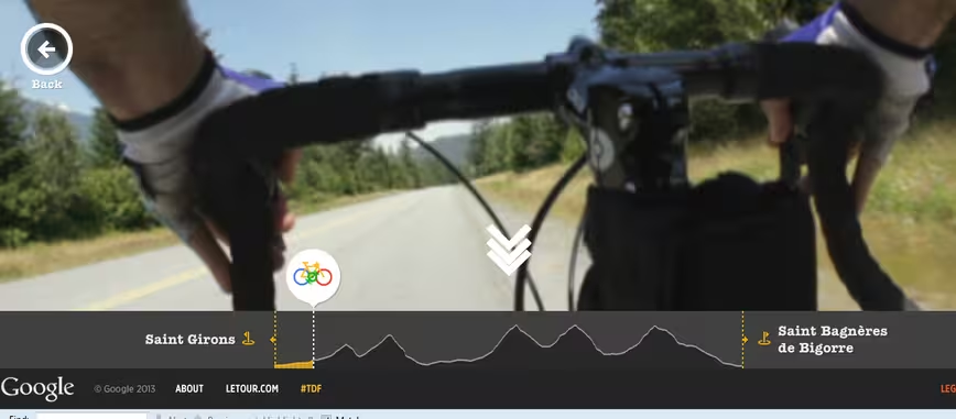
Using your mouse, you can scroll along each stage of the route and see a rider’s-eye view of proceedings.

The 💜 of EU tech
The latest rumblings from the EU tech scene, a story from our wise ol' founder Boris, and some questionable AI art. It's free, every week, in your inbox. Sign up now!
Alternatively, you can switch to map mode which shows a mini bike icon traversing along the route as you scroll.
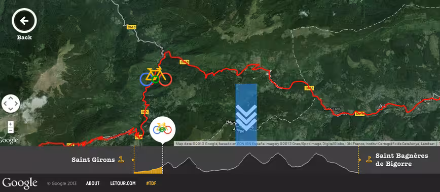
Certainly, it’s an interesting use-case for Street View and it’s particularly insightful for the huge hill climbs, as you can see what the riders themselves will be enduring.
Google’s interactive Your Tour site is live now for one and all.
➤ Your Tour | Google
Feature Image Credit – JEFF PACHOUD/AFP/Getty Images
Get the TNW newsletter
Get the most important tech news in your inbox each week.