Have you ever heard of wardriving? It’s the act of searching for and mapping Wi-Fi networks from a moving vehicle. It’s a really cool way to create a map of the wireless signals in a certain location.
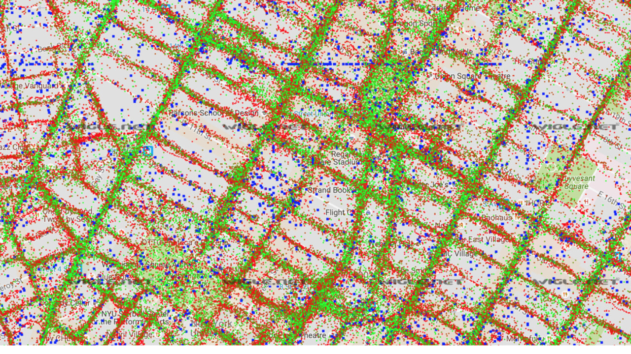
Scott Helme shows us it’s not that hard to do. He equipped his car with the right tools, drove around his town and mapped a total of 10,442 access points. He then proceeded to put all of their coordinates together in Google Maps, resulting in the following alternative view of his neighborhood:
Luckily, Scott also carefully explains how he did it so we can all have a weekend project to look forward to. The portable wardriving kit he created looks like this:

It might look complex, but all the products he used are freely available to anyone. The concoction combines a 50,000 mAh battery, a Raspberry Pi 3, an Alfa Wi-Fi module and a GPS module, held together with a few rubber wristbands.
The above pack might be great for smaller locations, but for a wider range, you can strap the parts to a car. He stuck the Raspberry Pi to the side window:

And the Wi-Fi and GPS antennas to the rooftop:

Then, by simply connecting to software on his laptop, he was able to map Wi-Fi connections throughout his entire town.
When you’ve got the data, consider uploading it to Wigle, a crowdsourced map of access points from all over the world. It’s an impressive project that beautifully shows the sheer amount of wireless networks surrounding us.
If you’re interested in trying out wardriving for yourself, make sure to check out Scott’s posts about the subject. You’ll need a bit of technical knowledge to get everything up and running, but it’ll be well worth it.
Get the TNW newsletter
Get the most important tech news in your inbox each week.


