If you’re in the UK, you may not have slept well this week. According to the weather gauges at the University of Reading, where I work, Tuesday 11 August was the third hottest night in records that date back to 1908.
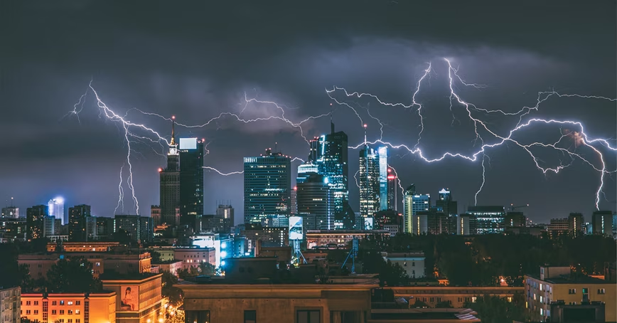
But it seems that, as is often the case with summer hot spells, the heatwave is ending with some spectacular thunderstorms. Tragically, downpours in Scotland are even thought to have played a part in a landslide that derailed a train – although it is still too early to say for sure.
At the time of writing, the forecast shows scattered thunderstorms are possible everywhere leading up to the weekend. While parts of the UK have endured nearly a week of stifling heat, much of the country now faces hail, lightning, gusty winds, torrential downpours, and flooding.
Forecasting which parts of the country will be hit by downpours, and which will miss them, is extremely difficult. But while such an uncertain forecast doesn’t help much if you’re planning a picnic, it is still useful for those who are managing rivers and trying to reduce the risks associated with floods.
[Read: Heatwaves don’t just give you sunburn — they can harm your mental health too]
Those people should now be doing things like clearing trash screens to aid drainage, putting up protection for individual properties and moving vulnerable possessions, and checking on dams to make sure they are ready to withstand the additional pressure and amount of water coming through caused by heavy rain.
These are low-cost actions that can be taken ahead of any possible outburst which might lead to flooding and can prevent a lot of damage – and heartache.
Forecasters will be closely monitoring the situation. Thunderstorms are notoriously difficult to predict with a frustratingly stubborn level of uncertainty in how they evolve in our supercomputer weather simulations.
Nevertheless, forecasters will be ensuring that updates are sent to those who need them quickly and preparing for the worst-case scenarios. Even a few hours’ advance warning could be the difference between safety and disaster.
Summer flash floods can affect anyone, anywhere. Even if you don’t live near a river, an extreme and sudden downpour on soil baked hard by days of sunshine can turn your home, your street, or your town into a devastated flood zone in minutes.
Currently, most of the UK has a “yellow” warning. The Met Offices says “Yellow means keep an eye on the latest forecast and be aware that the weather may change or worsen, leading to disruption of your plans in the next few days.”
As the warnings get more serious and turn amber or red, or if the forecast is for severe “danger to life” flooding then this could mean a potential paddling pool depth of water falling everywhere in minutes. Such a battering, as the thunderstorm passes, provides enough force to overturn cars as the water all rushes together.
Power failures and travel disruptions are a given and can happen suddenly. Don’t take chances and keep you, your family, and your community safe.
We have come a long way in our ability to predict the most intense “convective” rainfall from summer storms driven by summer heat in the UK. But there is still a lot about the science that we don’t understand. Advancements in these areas would help us to better understand when and where sudden, heavy downpours will strike.
The problem comes due to the huge amounts of energy that drive these storms. The heat and humidity in recent days feed the development of the thunderstorm, but the volatile, unstable air means that it is very tricky to work out exactly where each thunderstorm will be. A few hours ahead we can usually at least say which parts of the country will be affected, but thunderstorms have a very small footprint and can rapidly change.
One thing we do know: as our climate changes, and summer heatwaves become more common, these kinds of sleepless nights – and the incredibly dangerous summer downpours that relieve them – are also going to become more likely.
Even though the disruption and danger they can bring can be significant, it is difficult not to appreciate the majesty of these natural phenomena. Watching a thundercloud develop is mesmerizing, as it grows and grows and then towers over you. Lightning strikes are dangerous, but seen from a distance, provide one of the greatest shows the sky can provide. You can check out online lightning trackers to find where lightning is currently active.
This article is republished from The Conversation by Hannah Cloke, Professor of Hydrology, University of Reading under a Creative Commons license. Read the original article.
Get the TNW newsletter
Get the most important tech news in your inbox each week.


