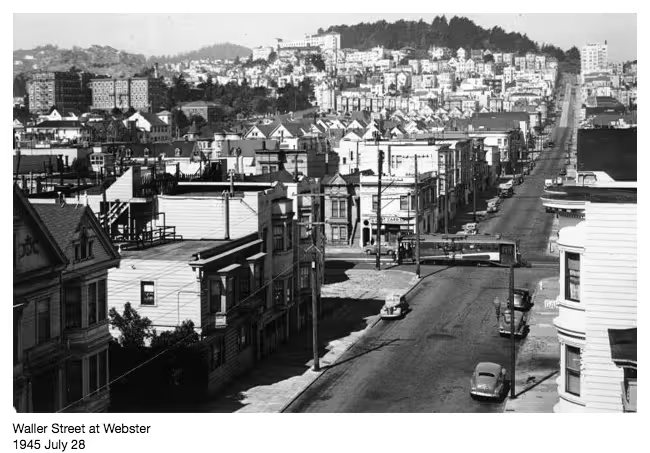
Have you ever wondered what San Francisco was like before the techies invaded? Well, now you don’t have to.
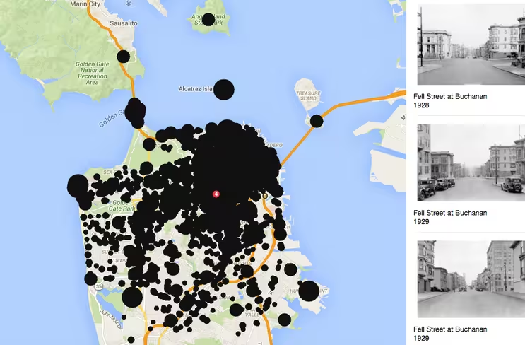
Two developers have cleverly created OldSF – an interactive Google Street View-style map of the city made up of photos dating as far back as 1850.
Dan Vanderkam and Raven Keller used images from the San Francisco Historical Photograph Collection and geocoded them to create the map.
The geocodes were determined in two ways – by the image’s subjects and by cross-referencing the addresses with coordinates using Google Geocoding API.

The 💜 of EU tech
The latest rumblings from the EU tech scene, a story from our wise ol' founder Boris, and some questionable AI art. It's free, every week, in your inbox. Sign up now!
When you zoom in on the map, you can move the slider to see the range of years and collection of images related to that area in particular.
It’s a neat way to discover some history about the city and explore without talking any open top bus or walking tour.
➤ OldSF [via Business Insider]
Get the TNW newsletter
Get the most important tech news in your inbox each week.