I recently attended a seminar for university teachers. Its mission was to help teachers use online geographic tools in creative ways. And I was really surprised – there are so many interesting map-based tools that can be used to help conceptualize, visualize, share, and communicate information.
Let’s take a look at some of them.
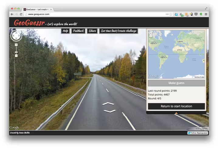
Google Earth tools can be used for various types of gamification, such as building Lego houses, a guessing game Where On Google Earth? or Geography of Hate. GeoGuessr drops you somewhere on the earth and you have to figure out where you are. This site is dedicated to historcial voyages, events, and historical backgrounds of countries throughout the World.
Here are some real examples how geography teachers can use Google Earth. Teachers can make their lectures more interesting with tours and paths. A walk through of all the cool things that can be done with lines in Google Earth from drawing and driving along polylines, to importing GPS tracks and showing profiles of the terrain crosse.
In Google Earth, you can easily drape your own images or maps over the terrain. This session will show you how to use overlays to help you tell a story in Google Earth. Here is an example of historic maps to overlay. You can also show nice time lapses with EarthEngine – this animation shows how the Aral Sea in Russia dried out between 1984-2012
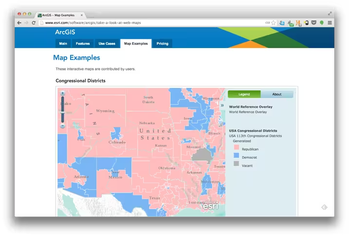
Elsewhere, ESRI’s ArcGIS allows to create interactive maps and apps and share them – quickly and easily with nothing to install or setup. With ESRI you can access a rich collection of basemaps, demographic maps, image services, and data. ESRI also has a great Microsoft Office Excel tool.
ESRI’s GeoCommons is the public community of GeoIQ users who are building an open repository of data and maps for the world. The GeoIQ platform includes a large number of features that empower you to easily access, visualize and analyze your data.
Mapping For Change is a nice project with a mission to empower individuals and communities to make a difference to their local area through the use of mapping and the applications of geographical information.
We’ve already mentioned Google Earth but Google offers many more mapping tools. Art can be nicely vizualized with the Google Art project. You can visit the Art museum in Jerusalem, Israel, for instance.
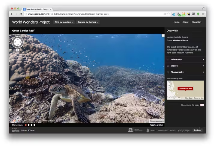
The Google World Wonders Project is a platform which brings world heritage sites of the modern and ancient world online. Using Street View, 3D modeling Google made these sites accessible to everyone. You can explore the Grand Canyon, for instance. Here is a cool video on how World Wonders work. Google Earth has official YouTube channel with other nice videos.
With Google maps you can fly really high because Google mapped not only the Earth but also Mars and the Moon, both with APIs. Sky Maps is also available.
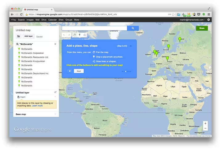
Here is Maps Engine Lite, the main Google tool to create attractive maps, such school capacity map, forensic sites from the Boston Marathon Bombing, walking tour of Seattle or motorcycle tour of Pakistan.
 The key is that mapping should be this easy. The KML file format is used to display geographic data in an Earth browser, such as Google Earth, Google Maps, and Google Maps for mobile. You can create KML files to pinpoint locations, add image overlays, and expose rich data in new ways.
Google geo tools can be also used in cases of natural disasters. Crisis Maps from Google.org Crisis Response Team are available.
Here is Google Earth in one presentation by John Bailey, an Assistant Research Professor at the University of Alaska Fairbanks. Being from wild Alaska, he knows a lot about maps. He created and teaches the first accredited US college class in Google Earth and KML.
Google Earth Outreach gives nonprofits and public benefit organizations the knowledge and resources they need to visualize their cause and tell their story in Google Earth and Maps.
Header image credit: Getty Images
Get the TNW newsletter
Get the most important tech news in your inbox each week.