Did you know that GPS was a project started by the US Department of Defence in 1973? GPS‘s services were made available to the public in 1980s. India has been working on its own system and the necessary set of satellites for this since 2013.
India‘s homegrown positioning system, NavIC (NAVigation with Indian Constellation) will be available for civilian use in the first half of this year.
The constellation can provide location data within 10 meters of accuracy. In 2017, the Space Application Centre (SAC), based in the western city of Ahmedabad said this is much better than the 20-30 meters accuracy afforded by GPS.
For consumers to take advantage of this, the easiest way is to use phones that support this navigation system. This week, Qualcomm launched three mid-range smartphone processors that will support this new system. One of these will feature in upcoming phones from Xiaomi and Realme, with the newer chip supporting NavIC.

The 💜 of EU tech
The latest rumblings from the EU tech scene, a story from our wise ol' founder Boris, and some questionable AI art. It's free, every week, in your inbox. Sign up now!
These chips support dual-frequency — L1 (1.58 GHz) and L5 (1.17 GHz) — Global Navigation Satellite Systems (GNSS). NavIC works on L5 band S-band (2.5 GHz). So these chips are designed to automatically support the NavIC standard.
As for whether your existing phone will work with NavIC, we first need to understand when smartphones use dual-frequency GNSS, they can avoid multi-path errors, caused by radio waves bouncing off obstacles and surfaces and in turn creating an error in positioning data.
You can use a free Android app called GPSTest, to check if your phone supports dual-frequency GNSS. Some other chips such as Huawei Krin 990, Qualcomm Snapdragon 855, and Snapdragon 855 support dual-frequency GNSS. But it’s not clear at the moment if phone makers (or chipmakers) can update the firmware to enable support for this navigation service. We’ve reached out to various companies to get more details, and we’ll update the story if we hear back.
NavIC covers the Indian landmass and area of almost 1,500 km around it. So, That means ships and fisherfolk can use this data to become aware of their position.
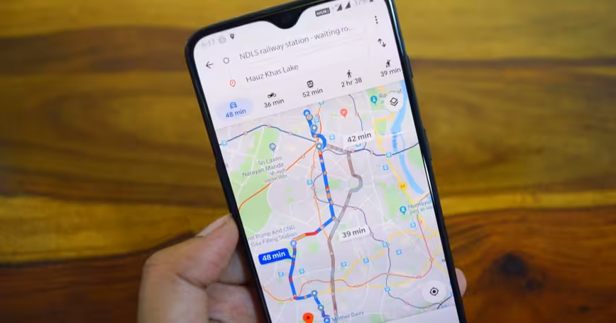
In a country with a complex road scheme and congested lanes, it can help delivery services and ride-hailing apps to more efficiently locate customers. Plus, it can pinpoint places in a complicated area with better accuracy.
Get the TNW newsletter
Get the most important tech news in your inbox each week.