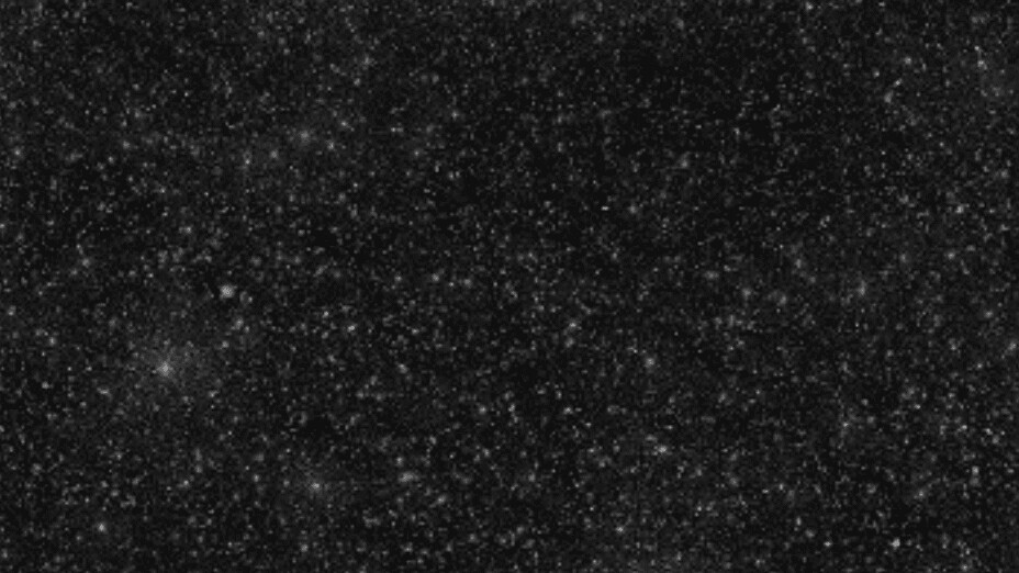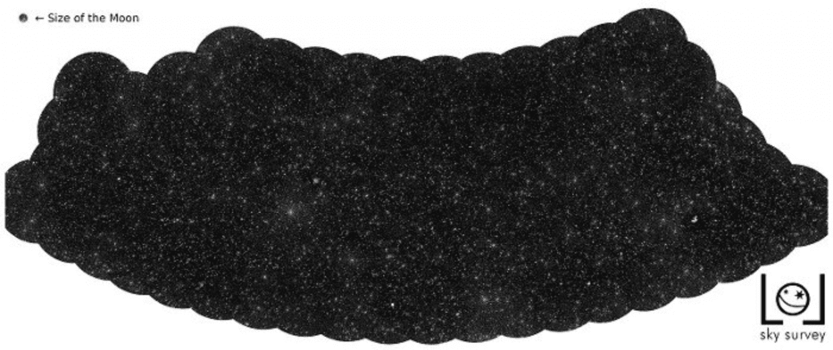
Astronomers have used a combination of low-frequency telescopes, supercomputers, and algorithms to create a vast sky map of 25,000 supermassive black holes.
The map shows thousands of twinkling dots that look like stars, but are actually enormous black holes, each of which is located in a different, distant galaxy.
The researchers pinpointed the celestial objects by analyzing radio emissions emitted by matter that was ejected when it got close to the black holes.

These emissions were detected by LOFAR (Low Frequency Array), an enormous radio telescope network spread across 52 stations in nine European countries.
LOFAR operates at the lowest frequencies that can be observed from Earth. However, its location produced a major problem for the study.
[Read: How do you build a pet-friendly gadget? We asked experts and animal owners]
LOFAR’s observations are distorted by the ionosphere, a shell of free electrons that surrounds the Earth and acted like a cloudy lens over the telescope.
“It’s similar to when you try to see the world while immersed in a swimming pool,” explained study co-author Reinout van Weeren of the Leiden Observatory. “When you look up, the waves on the water of the pool deflect the light rays and distort the view.”
The researchers overcame this challenge by using supercomputers and new algorithms to correct the effect of the ionosphere every four seconds.
This allowed them to convert the radio signals into images of black holes.
The new map currently covers 4% of the Northern sky, but the astronomers plan to continue their work until they’ve charted the entire area.
Ultimately, they hope to uncover new insights into the structure of the universe.
Get the TNW newsletter
Get the most important tech news in your inbox each week.


