To celebrate International Polar Bear Day, Google has released a new set of Street View photos documenting the majestic creatures in Churchill, Manitoba – otherwise known as the ‘polar bear capital of the world‘.
Google fitted its Street View Trekker, a colorful contraption that captures 360-degree images, to a specialized vehicle called the ‘Tundra Buggy’ and then journeyed across the coastal town to capture what is considered to be one of the largest polar bear populations on the planet.
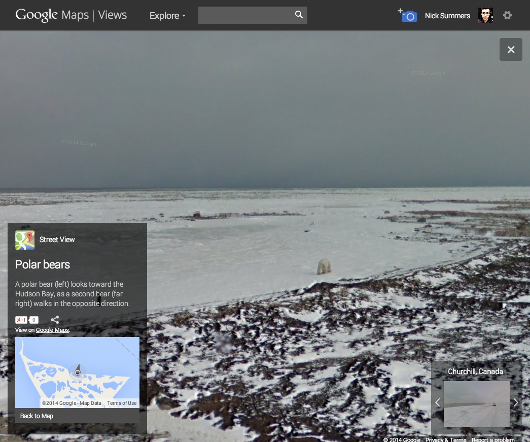
With support from Frontiers North and Polar Bears International, Google spent October and November last year travelling across this beautiful corner of Canada’s tundra, recording panoramic photos of the polar bears as they hunted for food and waited for the ocean to freeze over once more.
The full set of photos from the Churchill, Manitoba expedition can be seen here, but we recommend heading to this page on Google Maps Views to see the best shots featuring these mesmerizing animals.
Google has also released a mini-documentary video (below) on YouTube to give some further insight into the project and the challenges that Polar Bears are facing in the region due to climate change.
In the past, Google has captured Street View imagery for the River Thames, Venice, the Galapagos Islands, a deserted city caught up in the Fukushima disaster and Mount Everest.
➤ Street View Treks (Via Blog Post)
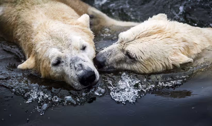
Image Credit: REMKO DE WAAL/AFP/Getty Images
Get the TNW newsletter
Get the most important tech news in your inbox each week.