
SimpleGeo and Stamen Design have partnered to produce Polymaps, a JavaScript library for image- and vector-tiled maps using SVG, that can be used by developers to build dynamic mapping apps.
According to the website, “Polymaps provides speedy display of multi-zoom datasets over maps, and supports a variety of visual presentations for tiled vector data, in addition to the usual cartography from OpenStreetMap, CloudMade, Bing” and other image-based web maps.
In a blog post, SimpleGeo said that the project has been available online as source code on Github for awhile, but now they’ve officially launched the service. Stamen Design is also helping SimpleGeo with its API as well.
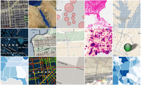
You can check out some examples of the visualizations on the website, like the one below:

The 💜 of EU tech
The latest rumblings from the EU tech scene, a story from our wise ol' founder Boris, and some questionable AI art. It's free, every week, in your inbox. Sign up now!
For more info on SimpleGeo, read our in-depth interview with CEO Matt Galligan.
Get the TNW newsletter
Get the most important tech news in your inbox each week.