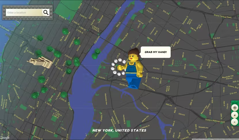
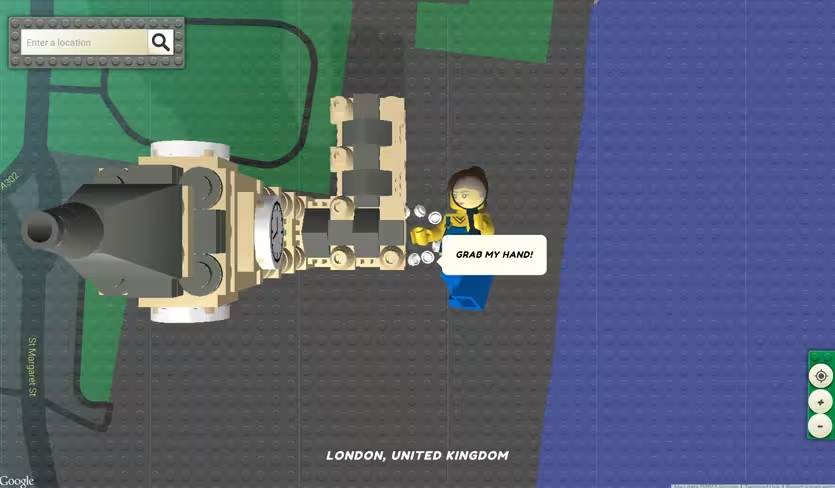
Many kids have built plastic brick cities out of Lego, but what if you could see any location on Google Maps in Lego form?
That’s what designer Einer Öberg has done with the appropriately named Brick Street View. The Web app renders Street View locations in block form, even inserting traditional Lego vehicles and plants into the cityscapes.
You’ll start out with a top-down view of New York City by default, but you can move to anywhere available on Google Maps. To navigate around, you simply grab your Lego avatar and drop her onto the location you want. Or, if you want a more boring approach, just type in the location you’re looking for.

The 💜 of EU tech
The latest rumblings from the EU tech scene, a story from our wise ol' founder Boris, and some questionable AI art. It's free, every week, in your inbox. Sign up now!
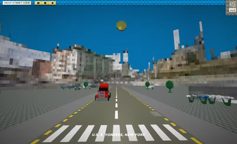
Some well known buildings are impressively render in the map view too, though once you enter Street View mode, most of the buildings are hard to recognize.
Still, it’s impressive work that should distract you from work for a few minutes. You can read more about how Öberg built the Lego map on Brick Street View’s About page.
➤Brick Street View via PSFK
Get the TNW newsletter
Get the most important tech news in your inbox each week.