Hurricane Sandy has definitely affected a big part of the United States. For many of us, we have families and loved ones living in the affected regions and worry about their safety. Now that the storm has mostly passed through, the focus is on surveying the damage — to help give a full account of its effect, media platform Chute created Weatherchute that curates relevant photos of our affected communities.
For this Y Combinator alumni, creating Weatherchute was a personal project — over half of the company has loved ones in the New York area and wanted to keep track of any news. With this site, all photos with the hashtag “Sandy” are curated and displayed from the site. They are primarily from Twitter and Instagram, but users can also upload their own photos to the site to share with the public.

This form of citizen journalism helps to give the world a better understanding of the impact that this devastating storm has had on communities. People won’t need to rely on just footage from mainstream news channels for just select coverage of the damage. Weatherchute takes all the photos from the social stream and organizes it by state. The more photos uploaded within a specific state, the darker it becomes on the map — New York, Pennsylvania, Virginia, Maryland, New Jersey, and Massachusetts are the ones with the highest number so far.

The 💜 of EU tech
The latest rumblings from the EU tech scene, a story from our wise ol' founder Boris, and some questionable AI art. It's free, every week, in your inbox. Sign up now!
Since it’s launch over 24 hours ago, Chute says that it has collected over 185,000 Hurricane Sandy-related photos displayed on the site. Some are amusing and meme-like, while others show first-hand accounts of the results of the storm. Over 47,000 have been geo-tagged to help you find out where they were taken. Within the hardest hit states, New York has the most photos shared with 22,000, New Jersey has 5,400, Pennsylvania has 2,500, and Maryland has 1,300.
Weatherchute isn’t the first service to come up help keep people in touch with the affected regions. Other initiatives included Google’s Crisis Response team developing a map earlier to track the hurricane’s path, video blogger Steve Garfield setting up a livestream to share the storm with his viewers, Reddit creating a section devoted to the hurricane for advice and humor, and others.
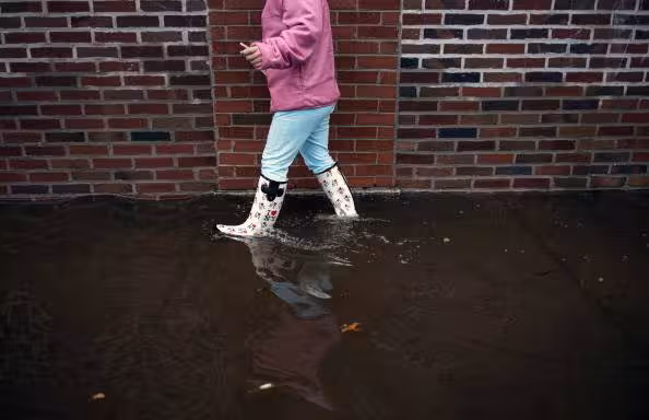
Photo credit: BRENDAN SMIALOWSKI/AFP/Getty Images
Get the TNW newsletter
Get the most important tech news in your inbox each week.