Google today announced another big update to the new version of Google Maps, improving the service via features like Earth Tours, step-by-step previews, and traffic incident reports from Waze. If you’ve opted into the new Google Maps preview, the additions will start rolling out today. Google says that more users will begin to see the new Maps experience “in the coming weeks.”
As you might expect, Google has a YouTube video that gives you a sneak peek of what’s new:
Let’s break down what exactly is new in this release.
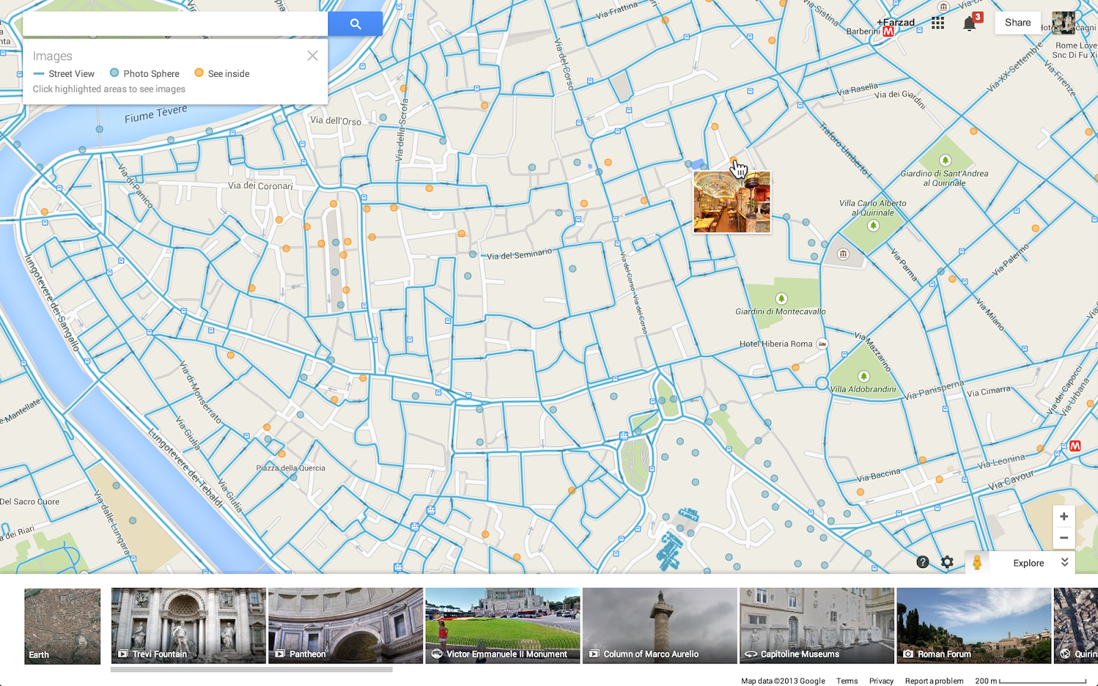
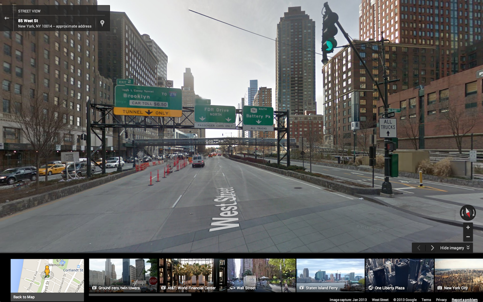
First up, while Street View has existed in Google Maps for years, the company has now made it easier to find where the feature is available (it currently supports over 50 countries). Pegman, Street View’s mascot that was dropped from the service, has made a return and is now located in the lower right corner of the screen on the desktop.

The 💜 of EU tech
The latest rumblings from the EU tech scene, a story from our wise ol' founder Boris, and some questionable AI art. It's free, every week, in your inbox. Sign up now!
Click on him, and areas with Street View imagery will light up in blue. For a street-level preview, hover over any highlighted road, then click to dive into that location:

If you zoom in, you’ll also see blue circles that indicate where you can find user-uploaded photos, including Android’s Photo Spheres, and yellow circles that let you see inside restaurants, museums, and so on.
Again, that’s blue for outside and yellow for inside:
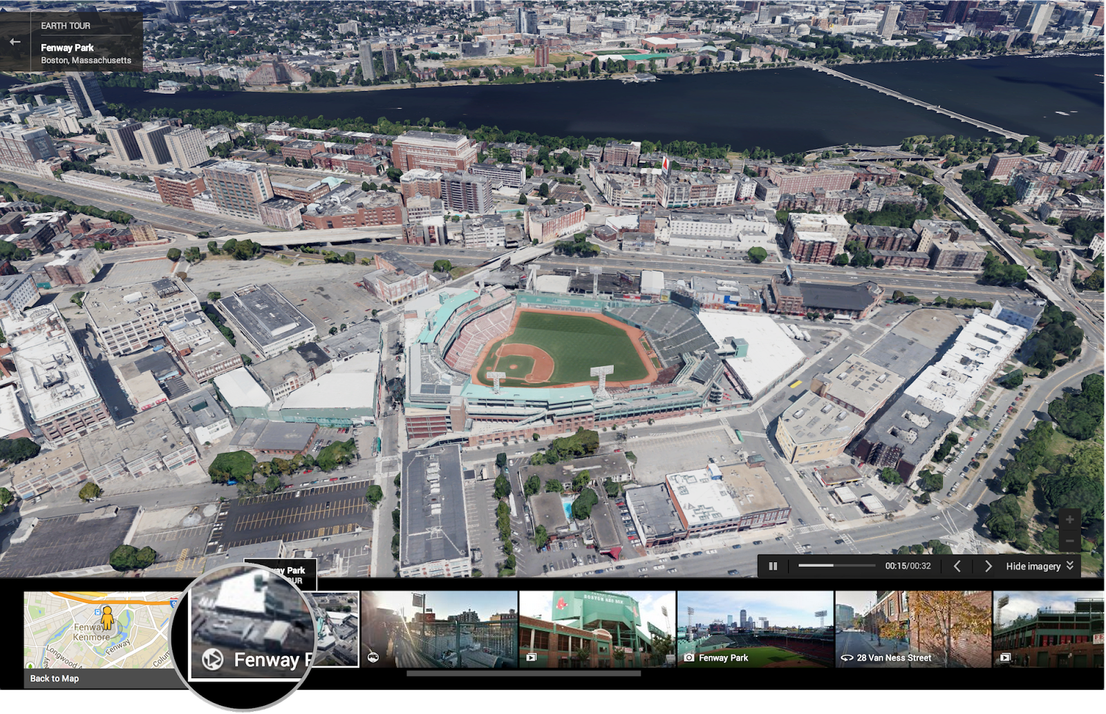
Next up, Google’s Earth Tours let you see 3D imagery of buildings and terrain for thousands of locations from above. This feature requires WebGL, which the latest version of every major browser now supports.
If you’re not using IE11, Firefox 25, or Chrome 30, you’ll want to upgrade just for this:
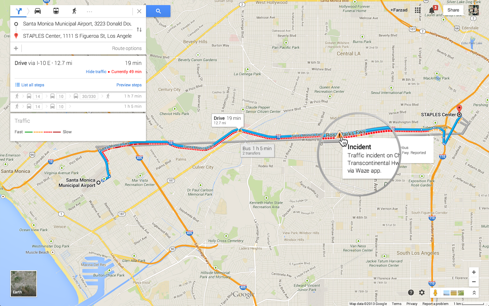
Google has also added a new step-by-step preview option for when you’re using Maps for directions. Just click “Preview steps” from the directions card to see a street-level snapshot of each decision point that will help you figure out exactly where you’re going.
Last but not least, Google has integrated traffic incident reports on both desktop and mobile, in addition to congestion indicators when you search for driving directions. This is thanks to data reported by Waze, which Google acquired in June.
As you can see, this is a big update to Google Maps that follows many additions the company has been making over the last few months. Yet Google is far from done: not all these features are on mobile, yet.
Top Image Credit: calsidyrose / Flickr
Get the TNW newsletter
Get the most important tech news in your inbox each week.