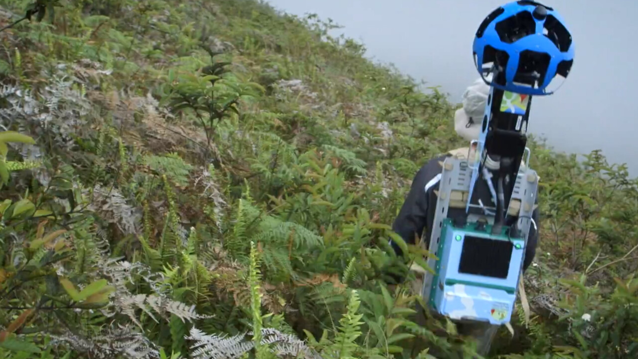
After venturing to the Galapagos Islands earlier this year with the now instantly recognizable Street View Trekker, Google is today releasing its latest batch of 360-degree imagery for the public.
The panoramic photographs coincide with the 178th anniversary of English naturalist Charles Darwin’s discovery of the islands, which ended up being a crucial factor for his all-important theory of evolution.
Google sent a group of researchers on a 10 day expedition to visit this biodiverse and incredibly beautiful location back in May. The Directorate of the Galapagos National Park and Charles Darwin Foundation partnered with them to map the islands and collect the new Street View photographs.
Google has also uploaded this mini-documentary of sorts to give you an idea of how the trip unfolded:
Google Maps is fast becoming one of the most powerful and insightful educational tools on the Web. Google even managed to pick up some underwater shots while they were out there, capturing some inquisitive sea lions in stunning detail.
If that hasn’t whet your appetite enough, Google’s also added the Galapagos Islands to its ‘Behind the Scenes’ page on Google Maps.
Get the TNW newsletter
Get the most important tech news in your inbox each week.