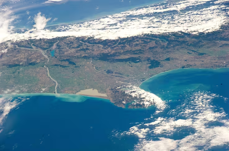
IN SPACE – FEBRUARY 26: In this handout image provided by NASA, the International Space Station is seen from space shuttle Discovery as the shuttle approaches the station during rendezvous and docking operations February 26, 2011 in Space. Discovery, on its 39th and final flight, is carrying the Italian-built Permanent Multipurpose Module (PMM), Express Logistics […]
 Credit: NASA
If you’re the type of person who travels a lot and captures all of your photos with a smartphone, tablet, or other device with geotagging capabilities, the latest update to the Google Earth for Android app should pique your curiosity.
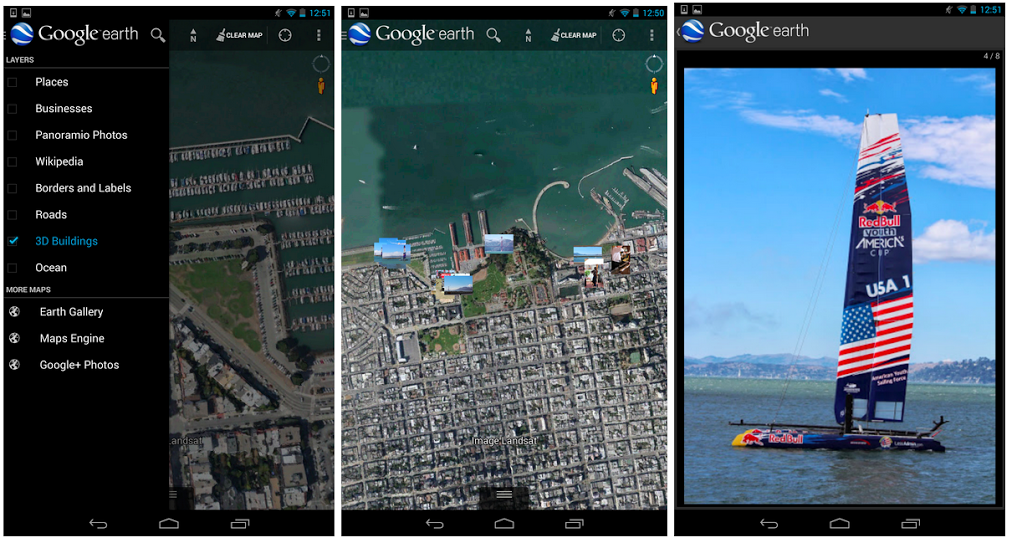
In short, it’s now possible to view geocoded Google+ photos directly within the app. Sign in with your existing Google account and tap the Earth logo in the top left-hand corner to bring up the sidebar. At the bottom, under ‘More Maps’, a new selection should appear for Google+ photos.
Small thumbnail previews will now appear on top of Google Earth’s existing satellite imagery. Tap on them once and the app will launch a full-screen slideshow detailing everything saved in that Google+ photo album or location. It’s a whimsical experience and a lovely way to peruse old travel photos.
➤ Google Earth | Android (via Engadget)
Image Credit: NASA via Getty Images
Get the TNW newsletter
Get the most important tech news in your inbox each week.
Also tagged with


