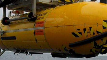
The National Oceanography Centre’s robot sub, Autosub6000 has been taking pictures. In fact it’s taken around half a million pictures that will be stitched together to form a ‘street view’ map of the North Atlantic’s Porcupine Abyssal Plain and its inhabitants.
The unmanned robot has been providing continuous images of an area some twelve miles long by four miles wide (20 km by 7 km), covering an area about the size of city such as Southampton, but three miles underwater (around 4850m).
The sub takes long strips of imagery which will be stitched together to make a huge composite. It’s a bit like a massive under-water Google map featuring aquatic life.


The <3 of EU tech
The latest rumblings from the EU tech scene, a story from our wise ol' founder Boris, and some questionable AI art. It's free, every week, in your inbox. Sign up now!
By collecting this imagery, scientists will have a stack of new information about the wildlife in this part of the ocean. Coupled with advanced acoustic mapping, and samples taken of the ocean floor, the team of scientists led by Dr Henry Ruhl will have a complete picture of what lives at, on and in the ocean floor.
“On land it is easy to confirm on the ground what we can see from satellite photographs, but this is far harder in the deep-sea because we can’t see through the water using light. Even though it’s difficult to make measurements there, abyssal habitats cover more than half the surface of Earth,” says Dr Ruhl.
Here’s one of the half-million strip photos taken by Autosub6000 – this particular strip features a dumbo squid. Check out the huge version of this image here.

One of the key aims of this research is to find out the effect that climate change has on the deep ocean floor. “With no sunlight penetrating these abyssal waters, the animals live on material that falls from the upper ocean, phytoplankton, zooplankton and faecal matter – plankton poo,” explains Dr Ruhl. “We believe that the settling of this sinking food supply differs in different parts of the abyssal plain including the hills and flat areas. Our research will help disentangle how projected changes in this sinking carbon food supply will differ on abyssal hills versus flat areas in the largest habitat on Earth.”
The scientists returned with their bounty of images last Friday and it is hoped that the whole map should be stitched together in the coming months. That’s one heck of a cut and paste job ahead.
Get the TNW newsletter
Get the most important tech news in your inbox each week.