Have you ever wondered how global warming is slowly but gradually changing everything around us? Now there’s a nifty interactive map that will help you easily put things into perspective – or at least give you a better idea.
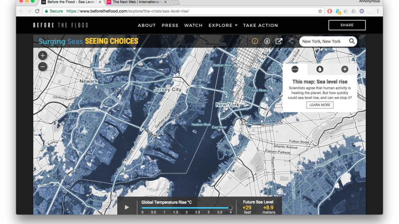
In an effort to raise awareness of the detrimental impact of global warming, National Geographic has put up a neat interactive map that shows how the rise of global temperature is causing sea levels across the globe to elevate at worrying rates – and how things are bound to get even worse in the future.
You can find the visualization on the website of its environmental documentary Before the Flood, which debuted a few months back in October. Hosted by Hollywood favorite Leonardo DiCaprio, the eco-flick features interviews from notable public figures like former US president Barack Obama and Tesla CEO Elon Musk.
Here’s a glimpse of the map in action:
“Every fraction of a degree of global warming sets in motion sea level rise that will profoundly threaten coastal cities across the world,” explains Dr. Benjamin Strauss from Climate Central. “[Our map] shows the incredible stakes and urgency of our climate choices.”
In addition to its visualization on the rising sea levels, the website further links to a few other interactive presentations and resources on our swiftly deteriorating environment, including this global flood analyzing tool as well as a summary of all the negative manifestations of global warming.
Find out how global warming will affect the water levels in your area by checking out the interactive map here.
Get the TNW newsletter
Get the most important tech news in your inbox each week.