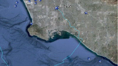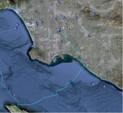
Google has just added a pretty cool layer to Google Earth – near real-time flight location of every flight over the US.

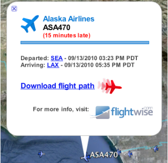
The KML file, provided by FlightWise, can’t be offered in real-time because of FAA regulations, so the flights you’ll see are 15-20 minutes behind on average. The layer shows the flight path of the airplane, and when you click on it you’ll be offered a pop-up that gives you more detailed data, as well as a download option to download a KML file of the entire flight that you can then replay.

Google Earth just continues to be one of the most fun applications to have on your desktop (we’ve been tracking the recent hurricanes with the new weather layer).
Get the TNW newsletter
Get the most important tech news in your inbox each week.


