 While start-ups in the USA are free to use their country’s map data, their counterparts in the UK aren’t so lucky. It looks like that luck’s about to change.
The UK government has announced that it is to explore ways of making huge amounts of public data freely available for the first time. The move follows a three-year campaign by The Guardian newspaper to open up all restricted “essential national data”, making it free for use by all.
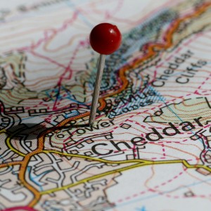
Until now, the official Ordnance Survey maps of the entire UK have been only available to people willing to pay. As The Guardian reports, businesses are currently charged £5000 per use for access to the maps. It appears that public transport timetable information will be opened up too.
It’s easy to understand why this high price scuppered the ambitions of entrepreneurs trying to build a business around mapping in the UK.
So, what will this free data mean?
As geolocational data becomes increasingly important on the web, it puts UK start-ups in a great position to get in on the action on their home turf. Sure, Google Maps is fine for some purposes but Google’s API prohibits things like storing maps (they have to be loaded on-demand) or use outside a web browser environment.
That’s why companies like Waze (covered recently on The Next Web Appetite) require users in some countries to create the maps for the service themselves – it’s just too expensive to do it any other way. It’s a slow and error-prone method that distracts the company from doing what it wants to do – provide a social traffic news service. In the future they could just grab a free license for UK map data – job done.
OpenStreetMap is an alternative for non-commercial projects but their dataset is incomplete. The official map of the UK is a far more useful tool.
Timetable information being opened up will stop the ridiculous situation recently where UK traintimes iPhone app MyRailLite was forced out of business by huge licensing fees for timetable information. The official Nation Rail Enquiries app is 100% legit but lacks the finesse and complete functionality of its unauthorised rival.
The Ordnance Survey doesn’t appear to be happy about map data being freed. As The Guardian reports:
“…the union representing staff at the OS stated that Brown’s pledge was in “complete contradiction with the OS’s own plans to explore commercial opportunities and find new ways of raising revenue”.”
Free data is the way the online wind is blowing and just like Rupert Murdoch, the Ordnance Survey will eventually just have to grin and bear it.
[Image credit: Mukumbura on Flickr]
Get the TNW newsletter
Get the most important tech news in your inbox each week.


