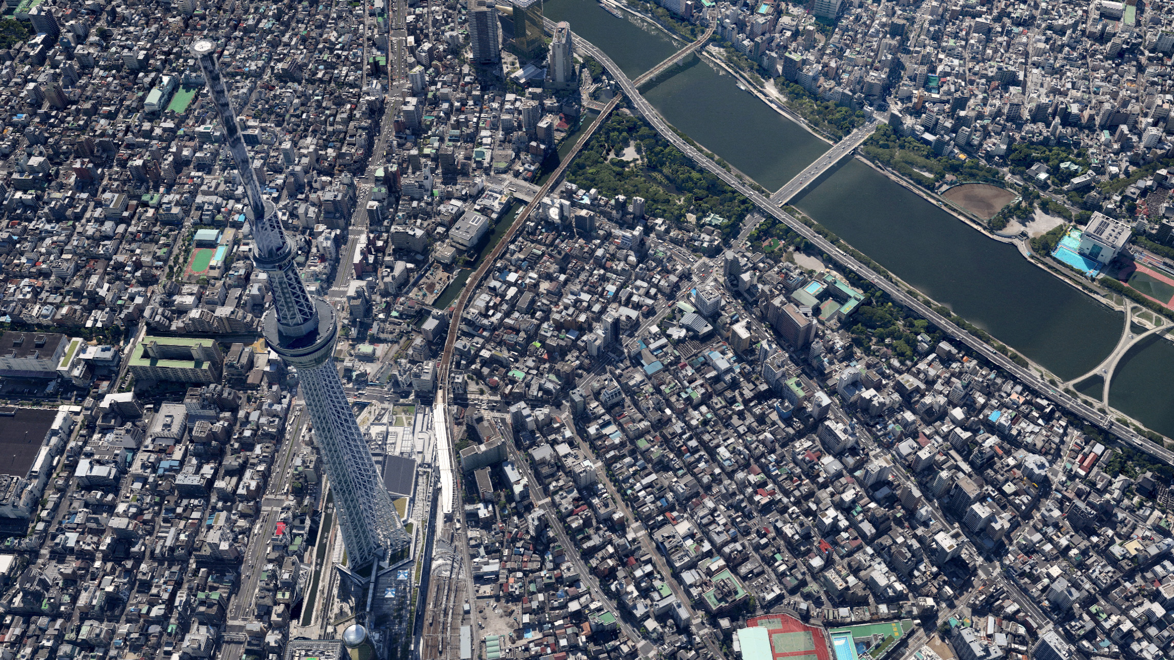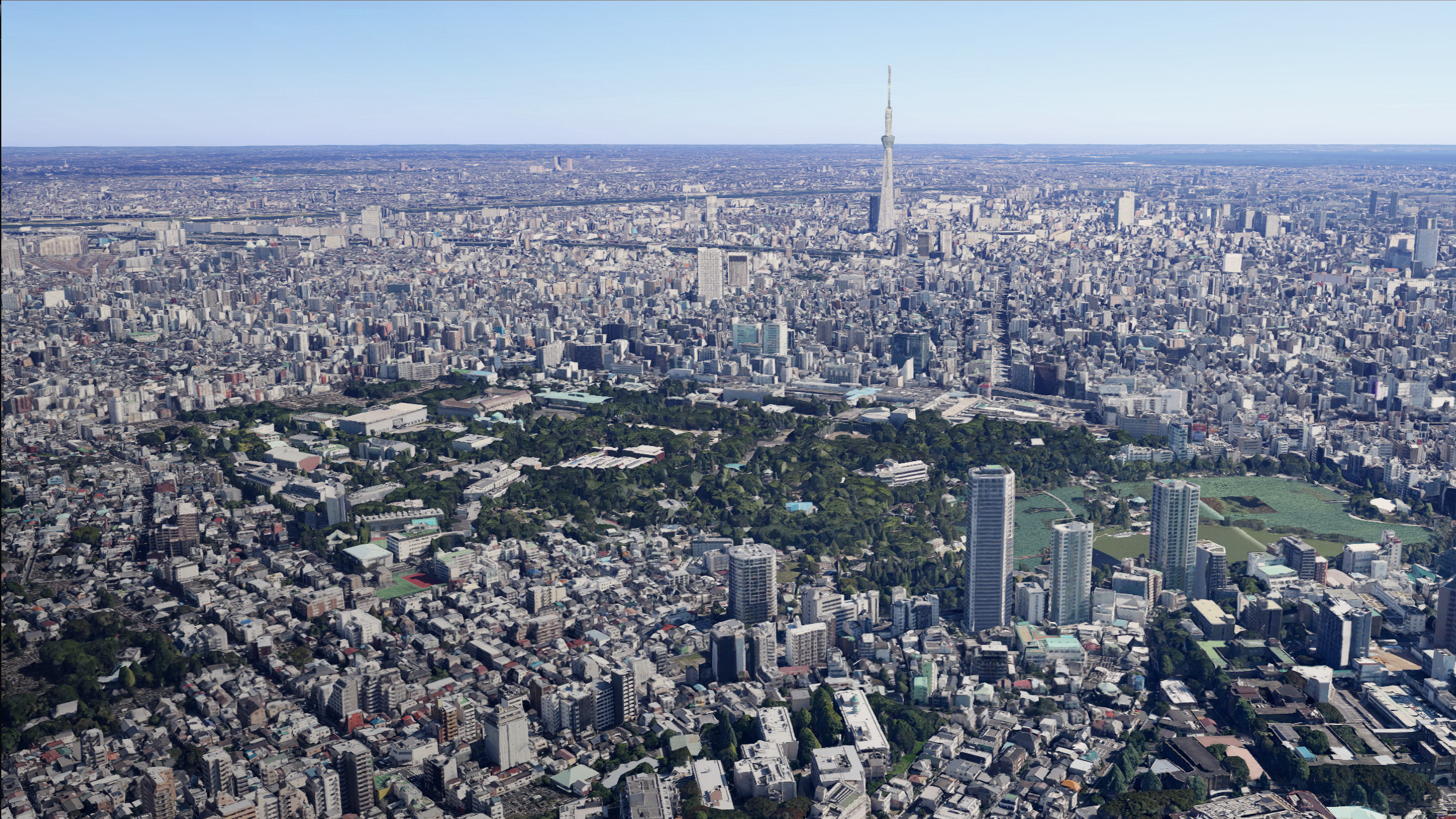
Ever wanted to skydive over Tokyo or walk the streets of the Japanese city with the Tokyo Sky Tree towering over you — with just a click of your mouse? Now you can — virtually speaking — as Google has released new 3D imagery of Tokyo through Earth View in Google Maps.
This means you can now see 3D views of major landmarks, such as the Tokyo Tower and Tokyo Sky Tree, as well as surrounding buildings, topographies, and parks.
The feeling of exploring these extremely realistic Tokyo surroundings is amazing — and provides a good dose of escapism into the capital city of Japan, while just being at your desk or on your smartphone.
Thumbnail image via Keith Tsuji/Getty Images
Get the TNW newsletter
Get the most important tech news in your inbox each week.


