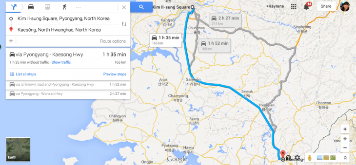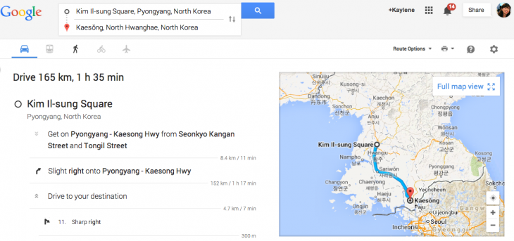
Google has made inroads into the famously reclusive North Korea once again, after North Korea Tech spotted that there is now satellite navigation on Google Maps for the country.
Last year, an updated Google Maps for North Korea came about after input from the Google Map Maker tool, with points of interest, roads and the like being added. Now you can actually figure out how to drive from one point to another via Google Maps.
However, there are currently only driving directions and no option for public transport, even though Google Maps displays railway lines and tram lines in the country’s capital city of Pyongyang. North Korea Tech notes that this is because there is no timetable data for public transport in the system (yet).
With North Korea’s harsh restrictions on internet access for its citizens, and as freedom of movement for North Koreans is severely limited, the feature likely isn’t meant for people who stay in the country, but more for outsiders to get a glimpse of the (driving) situation inside.
However, if anyone in North Korea manages to get internet access and is up for walking days on end and hiding from authorities, North Korea Tech also spotted that you can plot an escape route from one of the concentration camps called Yodok to the Chinese border.
➤ North Korea driving instructions come to Google Maps
Headline image via Shutterstock
Get the TNW newsletter
Get the most important tech news in your inbox each week.


