We’ve all grown accustomed to Google Street View and its growing coverage of the world. It’s hard to imagine a time without it.
There may not have been Street View between 1870 and 1970, but people did take a lot of pictures — especially in New York City. Thanks to the New York Public Library, these have now been scanned and archived.
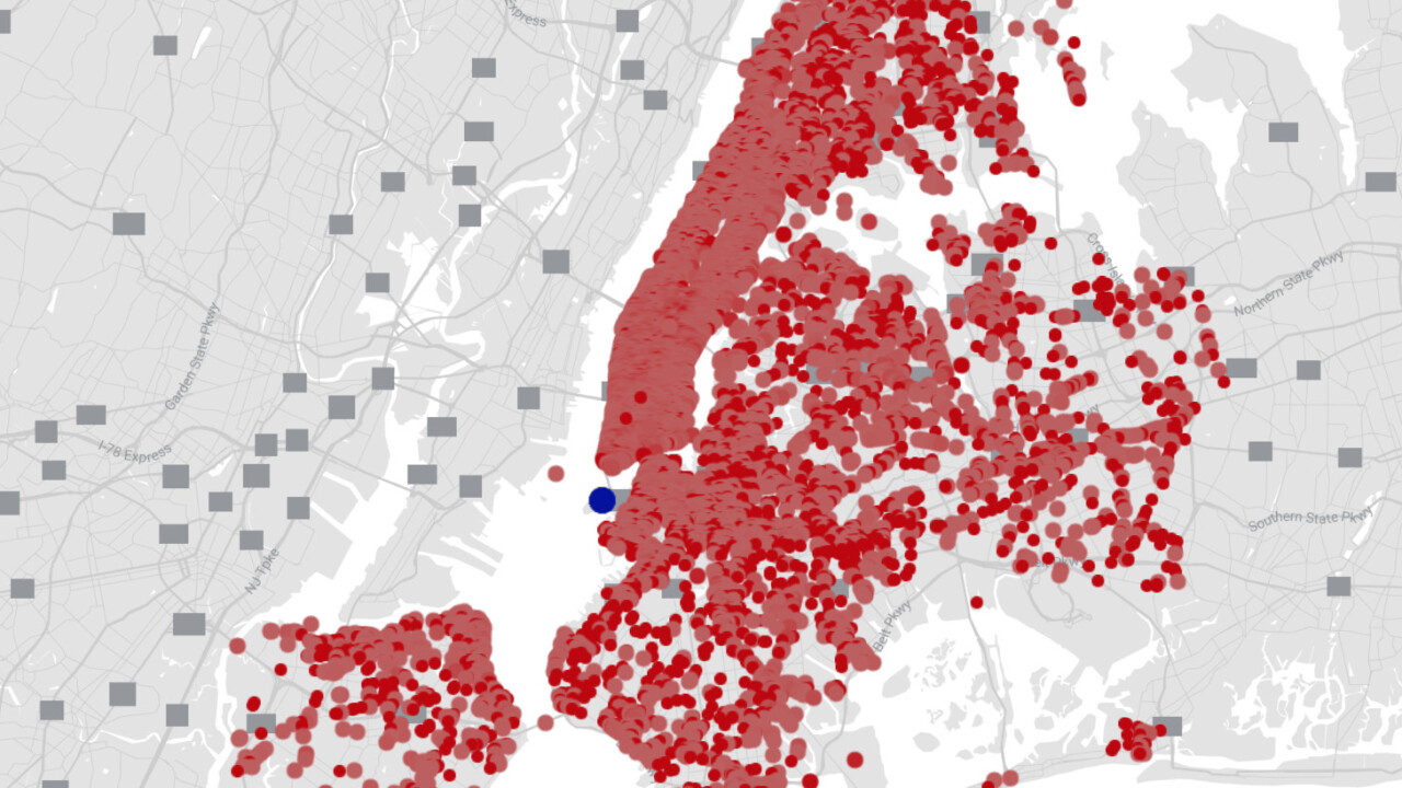
Thanks to OldNYC, we can now see all of this imagery on a map of NYC. It’s impressive how much of the city has been covered, from downtown Manhattan all the way to Brooklyn.

The pictures give an amazing view of a city in transition. Particularly the images of the early days of Brooklyn being built and Manhattan being so very different than what it is today.
Get the TNW newsletter
Get the most important tech news in your inbox each week.


