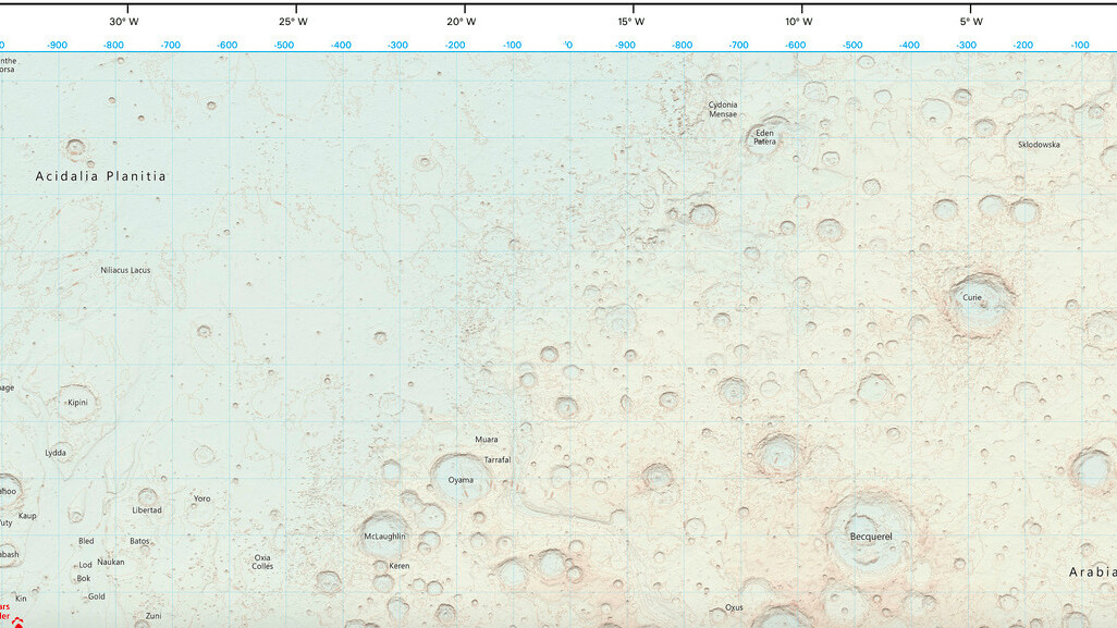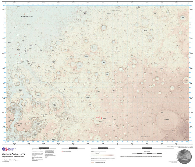
While the British mapping agency Ordnance Survey is known for documenting the towns and cities on earth, it has gone above and beyond this time and created the first ever OS map of Mars.
The map was created using open data from NASA and was published on the organization’s Flickr, as well as a one-off edition being printed for a British scientist working on a Mars Rover landing for 2019.
The map covers an area of around 10 million square kilometres, which accounts for about 7 percent of Mars’ surface and equates to just under half the size of North America. Chris Wesson, the cartographer who created the map said in a blog post:
Mars is a very different topography to the Earth to map. The surface is very bumpy but at such a large scale I had vast expanses of land that appeared flat relative to the craters each of several thousands of metres depth, hence the need for different lighting and surface exaggerations. This varying topography led to several attempts by trial and error to find a workable contour interval.
The soft color palette and traditional mapping features, like contour lines, make the red planet appear to be more earth-like than you might think and quite whimsical. So if you’re planning a trip to Mars in the future, be sure to pack your official OS map.
➤ OS maps go off the planet [Ordnance Survey]
Get the TNW newsletter
Get the most important tech news in your inbox each week.


