TL;DR
NavVis raised €73.7M Series D led by The Jordan Company. Spatial twin platform has scanned 1B+ sqm. 1,500+ customers including BMW, VW, Toyota, Siemens. Expanding in US market. Partners with Nvidia, SAP, Autodesk.
The Munich-based TUM spin-off has scanned more than a billion square metres of industrial plants, construction sites, and buildings. BMW, Volkswagen, Toyota, ExxonMobil, and Siemens are among 1,500+ customers in 50 countries.
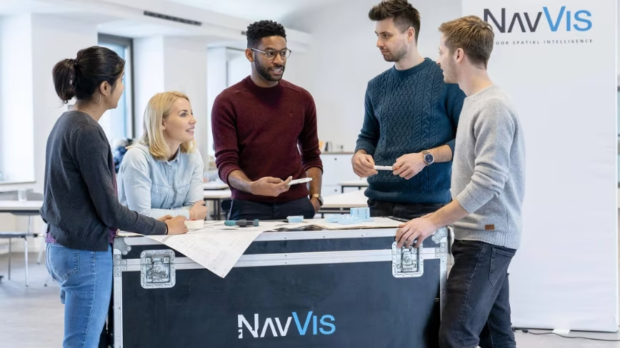
NavVis
 Credit: NavVis
NavVis raised €73.7M Series D led by The Jordan Company. Spatial twin platform has scanned 1B+ sqm. 1,500+ customers including BMW, VW, Toyota, Siemens. Expanding in US market. Partners with Nvidia, SAP, Autodesk.
NavVis, a Munich-based spatial twin platform, raised €73.7 million ($85 million) in a Series D round led by US private equity firm The Jordan Company. Existing investors Yttrium, KOZO KEIKAKU ENGINEERING, and Cipio Partners also participated. The company, a 2013 spin-off from the Technical University of Munich, builds photorealistic digital replicas of factories, plants, and buildings using wearable laser scanning systems that it says work 10 times faster than traditional survey methods.
The numbers are substantial. More than a billion square metres of industrial space have been scanned onto the NavVis platform, and over 150,000 users in engineering, maintenance, and construction teams use the data daily. The customer list reads like a manufacturing index: BMW, Volkswagen, Toyota, Mercedes-Benz, ExxonMobil, BASF, Henkel, Bosch, and Siemens. The company has partnerships with Nvidia, SAP, and Autodesk, and operates in more than 50 countries with over 1,500 customers.
The investment will fund next-generation capture hardware, a deeper AI intelligence layer, and an open platform for what NavVis calls the “physical AI ecosystem.” CTO Georg Schroth framed the problem: industrial teams have always planned against drawings nobody fully trusts. NavVis replaces those drawings with a continuously updated spatial record that serves as the system of truth for every team, tool, and AI system. Digital twins have been expanding from urban planning to industrial operations, and NavVis sits at the factory end of that spectrum, where the stakes are highest and the data requirements most demanding.
The company is accelerating its US expansion, where it says it has been scaling fastest in recent years. CEO Felix Reinshagen described the mission as keeping physical and digital reality synchronised for the world’s most valuable assets. Customers use NavVis data to reduce downtime on automotive assembly lines, accelerate data centre construction, shorten refinery maintenance shutdowns, plan robotics rollouts, and train industrial foundation models. The spatial data layer is increasingly the prerequisite for industrial AI, and NavVis is positioning itself as the company that builds it.
Get the most important tech news in your inbox each week.


