There are more than 8,000 active satellites in orbit. By 2030, there will be more than 25,000. A single geomagnetic storm, the kind the sun produces several hundred times during a solar maximum, could cost the satellite industry $40 billion. In February 2022, a moderate storm knocked 40 freshly launched Starlink satellites out of orbit, costing SpaceX $50 million in hardware that had been in space for less than a day. A more recent storm in 2025 triggered nearly 5,000 simultaneous satellite manoeuvres. The companies operating those satellites need forecasts. The government agencies that have historically provided space weather data, NOAA, ESA, and their equivalents, were not built for a commercial satellite economy of this scale. Mission Space, a 15-person startup with offices in Miami, Israel, Luxembourg, and New York, is trying to fill the gap.
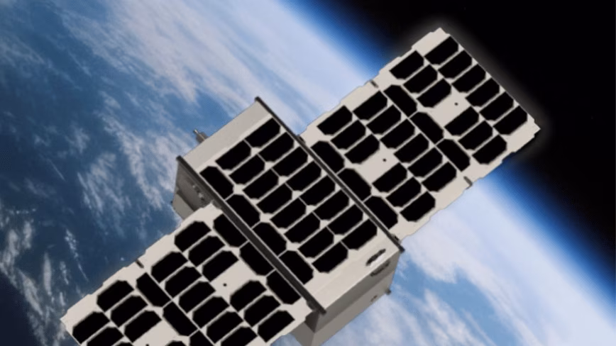
The payload
Mission Space announced on Monday that it will fly its fourth space weather payload on HEX20’s Maya-V1 mission, a rideshare satellite built by the Indian SmallSat company HEX20, which is based at Technopark in Kerala. HEX20 launched India’s first private payload hosting satellite, Nila, on SpaceX’s Transporter-13 rideshare in March 2025 and has been expanding its mission-as-a-service platform for international customers. The Maya-V1 mission will carry Mission Space’s ZOHAR sensors alongside other payloads, adding a fourth data point to the company’s growing orbital network.
The ZOHAR sensor platform, which won the 2025 Global Tech Award in space technology, samples up to 1,000 times per second across 15 parameters using spectrometers and Cherenkov detectors that capture high-energy particles in real time. The first ZOHAR payload launched in March 2025 on an EnduroSat platform. The second, a partnership with Rogue Space Systems, added neutral-density tracking, a measurement critical for predicting atmospheric drag, orbital shifts, and manoeuvre uncertainty during geomagnetic events. Low Earth orbit has become the launchpad for a new generation of space tech startups, and Mission Space’s constellation is among the most operationally focused: each new sensor does not merely replicate the previous one but extends the measurement set toward the company’s target of multi-point, high-temporal-resolution coverage across radiation, neutral density, and surface-charging intelligence.
The market
Space weather forecasting is a $1.4 billion market in 2026, projected to reach $2 billion by 2030 at roughly 10 per cent annual growth. The space weather monitoring satellite market is larger still, valued at $2.2 billion and projected to reach $3.2 billion in the same period. The growth is driven by the same force that created the need: the proliferation of commercial satellites in low Earth orbit, where spacecraft are most exposed to radiation, atmospheric drag variability, and surface charging from geomagnetic storms.
The economics are straightforward. Satellite operators with access to high-resolution, real-time space weather data can execute autonomous attitude adjustments, trigger safe-mode protocols, and compensate for drag before a storm’s effects become irreversible. Operators without that data rely on NOAA’s Space Weather Prediction Center, which provides public forecasts calibrated for broad geographic regions and long time horizons, not for the specific orbital parameters and rapid decision cycles that commercial constellations require. Space startups are increasingly pivoting to defence and security applications, and space weather intelligence sits at the intersection of both: the same data that helps a commercial satellite operator avoid a drag anomaly helps a military constellation maintain formation during a geomagnetic event.
The constellation
Mission Space’s target architecture is a constellation of 24 ZOHAR sensors, enough to provide multi-point monitoring that no single sensor can deliver. Space weather is not uniform. A geomagnetic storm affects different orbital altitudes, inclinations, and local times differently, and the current generation of government monitoring assets, most of which sit at the L1 Lagrange point or in geostationary orbit, cannot resolve those differences at the cadence commercial operators need. Mission Space’s approach is to distribute sensors across low Earth orbit on rideshare missions, building coverage incrementally as each host satellite reaches its operational orbit.
The fourth payload on HEX20’s Maya-V1 brings the company closer to a minimum viable constellation, but 24 sensors is still a long way from four. The rideshare model keeps launch costs low. SpaceX’s Transporter missions now charge $350,000 for 50 kilograms, and Mission Space’s payloads are small enough to fly as hosted instruments on other companies’ satellites rather than as standalone spacecraft. The partnership model, flying on EnduroSat, Rogue Space, and now HEX20 platforms, means Mission Space does not need to build or operate its own buses. It builds the sensors and the analytics layer, and lets the satellite companies handle the hardware and the orbit.
The risk
The case for space weather monitoring is easy to make in the abstract. Satellite-based environmental monitoring startups are attracting funding across wildfire detection, deforestation tracking, and climate intelligence, all categories where the value of early warning has been proven. Space weather is the same proposition applied inward: instead of pointing sensors at Earth, point them at the radiation environment the satellites themselves operate in.
The harder question is whether the commercial satellite industry will pay for private space weather data at the price points a 15-person startup needs to sustain a 24-satellite constellation. NOAA’s public forecasts are free. The European Space Agency’s space weather service is free. Mission Space’s value proposition depends on offering resolution, cadence, and localisation that the public services cannot match, and on selling that advantage to operators who have enough assets in orbit to justify the cost. The total addressable market is large, but the number of customers who currently budget for commercial space weather intelligence is small. Early-stage space infrastructure startups face this pattern repeatedly: the technology works, the market is real, and the gap between the two is measured in years of customer education and contract negotiation.
The bet
Mission Space’s fourth payload is not, by itself, a transformative event. It is one more sensor on one more rideshare mission, joining a growing but still sparse network of instruments that will take years to reach full operational capability. What makes it notable is the pattern it represents. Space-based infrastructure is becoming a commercial category, with private companies building the systems that governments once monopolised, from power transmission to communications to, now, the environmental monitoring of the orbital environment itself. Mission Space is not the only company in this space. But it is one of the few building a dedicated sensor constellation rather than adding space weather as a secondary function to an existing platform.
A Carrington-class geomagnetic storm, the kind that last hit Earth in 1859, would today cause damage estimated at more than $40 billion to the satellite industry alone and more than two trillion euros to global infrastructure. The probability of such an event in any given decade is estimated at 10 to 12 per cent. The satellite industry is betting that the storms will be moderate and the forecasts will be sufficient. Mission Space is betting that they will not be, and that a constellation of 24 sensors sampling a thousand times per second will be worth more than a government forecast updated every few hours. Four payloads in orbit is not proof that the bet will pay off. But it is proof that the bet is being placed.
Get the TNW newsletter
Get the most important tech news in your inbox each week.