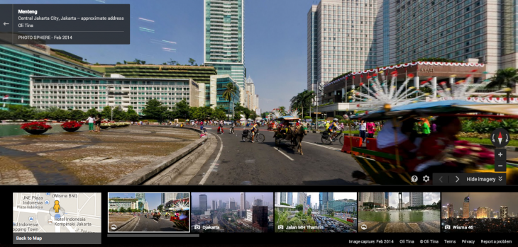
Google dispatched its distinctive cars to bring Street View to Indonesia back in 2012, and now the first fruits of that labor are finally showing. Today, nearly two years later, Google launched its first Street View imagery of the massive country on Google Maps, starting with four of the largest cities.
Google partnered with Indonesia’s Ministry of Tourism and Creative Economy to embark on what was termed as its biggest project in Asia, since Indonesia has a population of more than 240 million and is a large country that consists of many islands. The panoramic photos of Jakarta, Bogor, Denpasar and Surabaya will now let people around the world see 360-degree street-level views of public locations around the cities.
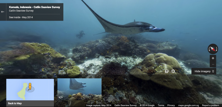
Other than that, Google has also introduced underwater Street View imagery of Indonesia’s Komodo National Park, a UNESCO heritage site, so people can now see the coral beds and wildlife that live under the sea. This is the result of teaming up with the Catlin Seaview Survey that used special 360-degree panoramic cameras to create the photographs.
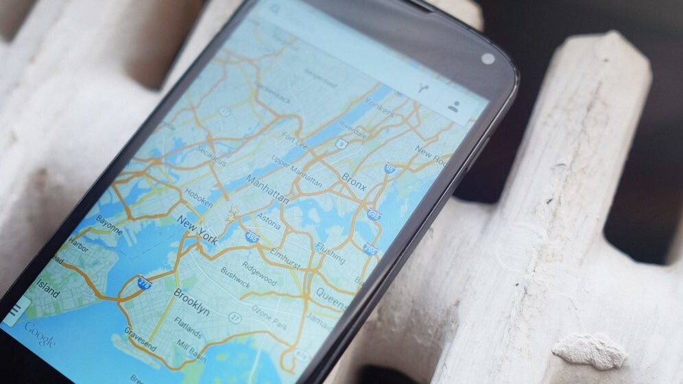
Street View is already available in more than 57 countries, and Indonesia is the latest to join the growing list. In the areas where Google Street View is available, users can see the images by zooming into the lowest level on Google Maps, or by dragging the orange “Pegman” icon on the map onto a blue-highlighted street.
It is hoped that the images provided by Google Street View could eventually attract more tourism and investment in Indonesia. Rudy Ramawy, the country head of Google Indonesia, says: “We hope the Street View imagery we’ve published today can help people around the world more easily discover and explore Indonesia and by doing so, attract more tourism and investment.”
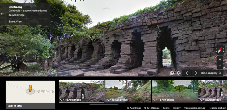
In the meantime, new Google Street View imagery has also been added for Cambodia, where the feature first arrived in April this year with 360-degree panoramic images of Cambodia’s iconic Angkor Wat. The new images go beyond Angkor Wat, bringing in views from Phnom Penh and Siem Reap, as well as more than 10 other provinces.
Other than Cambodia and Indonesia, the Google Street View project is at work or completed in a number of Asian countries including Japan, Taiwan, Hong Kong, Macao, Singapore, Thailand and Bhutan.
Get the TNW newsletter
Get the most important tech news in your inbox each week.


