Although Google’s “don’t be evil” saying doesn’t always ring true to its actions, some of the search giant’s work is pretty miraculous. From taking us to the South Pole, to documenting life on earth for future generations, there’s magic built into those goofy Street View cars.
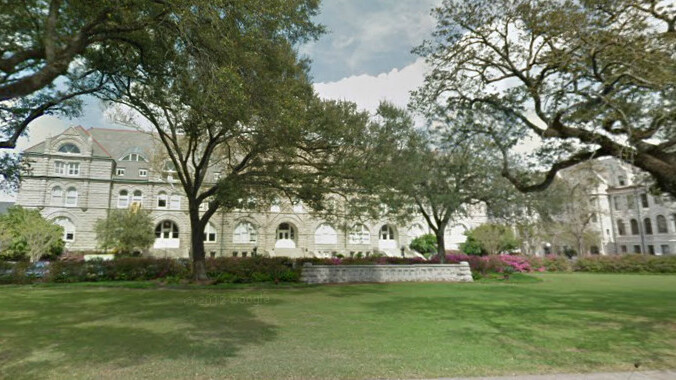
With this in mind, Google has updated its Street View imagery in New Orleans and it shows off renewal and rebirth in the area. The Mayor of New Orleans actually announced the update:
In 2008, as Louisiana’s Lieutenant Governor, I had the pleasure of writing about Street View imagery becoming available for our state. Now, as mayor of New Orleans, I’m excited to announce an update of Street View imagery for our region that helps show the rest of the world that New Orleans, and all of Louisiana, are not just rebuilding what was, but we’re also preparing for our future by building back stronger and better than before.
Nearly 7 years after Hurricane Katrina and the federal levee failures in 2005, the resilient people of New Orleans are making remarkable progress. The Street View imagery in Google Maps, which has just been updated today, more accurately reflects the major construction and renewal that’s underway.
Per the announcement, New Orleans is focused on developing the area into a place that’s even better than it was before. This is the sort of uplifting news that makes technology so special, sharing the area’s growth with the rest of the world.
Get the TNW newsletter
Get the most important tech news in your inbox each week.


