Google likes maps. To make better maps, the company bought Skybox Imaging back in 2014, which helped to keep Google’s satellite imagery up-to-date, with nearly 100,000 images since the launch of the company’s first satellite.
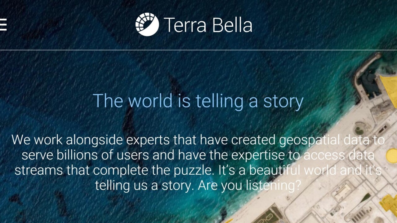
Now Skybox Imaging wants to venture further than just helping keep your local city map updated; it looks towards “pioneering the search for patterns of change in the physical world.” In order to reflect that new mentality, the company has been rebranded under a new name: Terra Bella.

Terra Bella will continue to deploy satellites, but now that it’s fully a Google company (which, in turn, is owned by Alphabet), it can work “with a wide array of geospatial data sources, machine learning capabilities, and experts” in order to “transform raw imagery into data to help people and organizations make more informed decisions.”
Its website shows off some of the ways its satellites can provide a view of how the world is evolving, such as construction development, monitoring shipping port traffic, or filming natural disasters live.
It seems the company will be taking a different track from the original rumors that suggested Skybox Imaging would be used for cloud services after the acquisition. Whatever the case, we’ll find out soon, Terra Bella says it will share more about the products it’s developing and how users can access them later this year.
That last bit is particularly notable, as it looks like the company now wants to bring its data to users directly, instead of just updating images for Google to use however it wants. Time will tell what the the satellites end up doing.
➤ Introducing Terra Bella [Terra Bella Blog]
Get the TNW newsletter
Get the most important tech news in your inbox each week.


