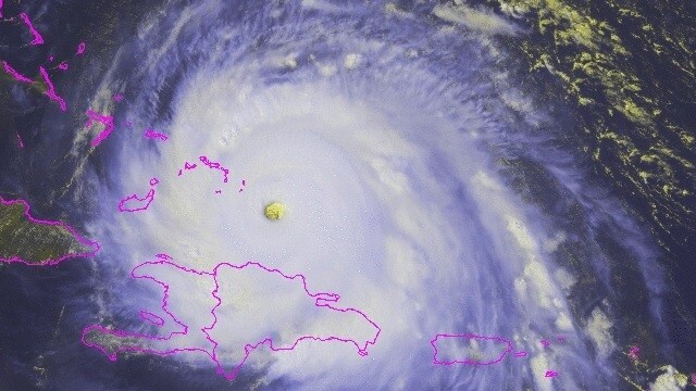
Google Maps is running point in Florida’s attempt to evacuate before Hurricane Irma makes landfall. As the Category 5 storm prepares to huff and puff and blow the Caribbean’s collective house down, stalwart citizens will need all the help they can get.
In a press briefing broadcast on Twitter, Florida Governor Rick Scott mentioned the state’s disaster prep teams were working with Google Emergency Response to mark real-time road closures in Maps.
Florida Gov. Scott says state is coordinating with Google's emergency response team to mark closed roads in real-time on Google Maps pic.twitter.com/T4NwVnyOv8
— CBS News (@CBSNews) September 7, 2017
This might help keep GPSes from accidentally sending those trying to get to shelter into danger zones from which they might not be able to escape. “You will know if a road is closed, ” Governor Scott said. He spoke specifically of the aftermath of the storm, as presumably even emergency responders won’t be able to keep track of blocked roads during the hurricane.
In the same broadcast, he urged people not to attempt to flee the state en masse, but rather to find shelter in their immediate area. Traffic, he said, is already bottlenecking on the major highways.
Google said in a statement:
To provide access to accurate and useful transportation information, we use algorithmic and manual methods to account for everyday and emergency road closures. We’re working directly with Florida officials to help provide up-to-date information to those affected by the storm. These road closures will also appear on our Irma Crisis Map, embedded as part of our SOS Alert on Search.
Get the TNW newsletter
Get the most important tech news in your inbox each week.


