Google is partnering with TIME, NASA and the US Geological Survey (USGS) to give an historical perspective on geological changes to planet Earth over a 25-year period.
Images of the planet taken from space have been collated into an interactive time-lapse tool to chart how Mother Earth has changed in the last quarter-of-a-century.
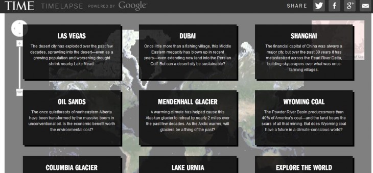
The Time-hosted Timelapse portal is live now, featuring a front-page with a handful of pre-chosen regions, including Las Vegas, Dubai, the Mendenhall Glacier and Wyoming Coal.

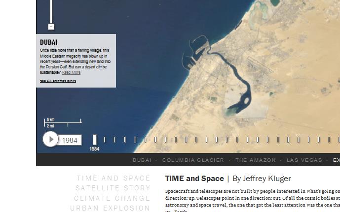
Each section serves up a little background information on the area, with a slider that lets you see how it has evolved since 1984. You can also zoom in to see it closer-up. It really is quite a tantalizing thing, and you may find yourself spending a fair bit of time here.

The project has been compiled from millions of satellite images, and as with Dubai above you can see the UAE’s man-made Palm Islands spring up over time.
The images were collected as part of an ongoing joint mission between the USGS and NASA called Landsat,” explains Rebecca Moore, Engineering Manager, Google Earth Engine & Earth Outreach. “Their satellites have been observing earth from space since the 1970s—with all of the images sent back to Earth and archived on USGS tape drives.”
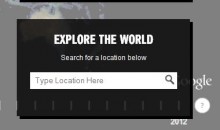
 Users can also look for other region-changes through a search box, so this isn’t restricted to the curated sections.
Google started working with the USGS in 2009 to make this archived imagery available online. Indeed, Google has previously made such imagery available via Google Earth, gleaned from Nasa’s Landsat program spanning from 1999 to 2011.
For this latest project, Google Earth’s engine was once again tapped, to filter 2,068,467 images (909 terabytes of data) —to eek out the clearest pictures.
“As the final step, we worked with the CREATE Lab at Carnegie Mellon University, recipients of a Google Focused Research Award, to convert these annual Earth images into a seamless, browsable HTML5 animation,” adds Moore.
Get the TNW newsletter
Get the most important tech news in your inbox each week.


