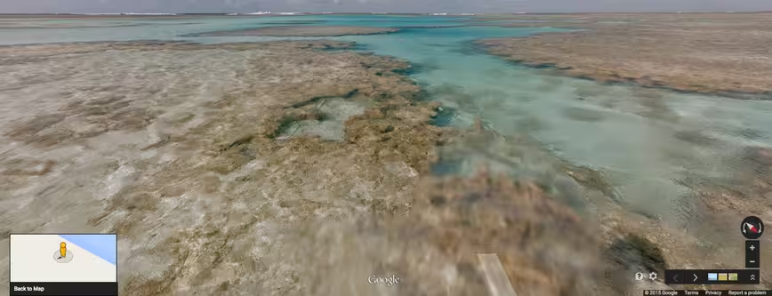
After covering the busy cities of Bangladesh, Google’s latest Street View imagery takes users on a journey to Brazil’s Fernando de Noronha and Atol das Rocas islands.
Both UNESCO World Heritage sites boast pristine beaches and stunning cliff views, as well as diverse marine life. Visits are restricted mainly to researchers in small groups.
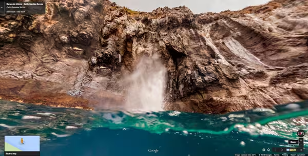
Google’s team used the Trekker, a 15-camera system mounted on a backpack, to capture images on land.
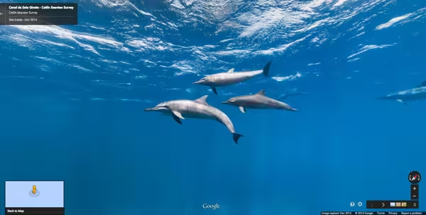
In addition to the golden beaches on these islands, you can also catch a glimpse of spinner dolphins, snapping turtles and varieties of fish native to the region. Check out the highlights gallery to see more.
➤ Mapping Brazilian islands, above ground and under the sea [Google Maps Blog]
Get the TNW newsletter
Get the most important tech news in your inbox each week.