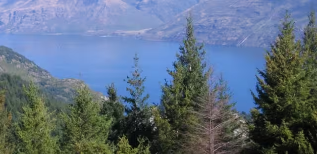
AllTrails is a user-driven platform that records the best places to hike, climb, camp, mountain bike, run, and participate in other activities typically taking place in the great outdoors. It also lets you view reviews, share photos and take notes of where you went and what you did. It has been described as the ‘Yelp for those who enjoy outdoor pursuits’.
Today, AllTrails has announced a partnership with National Geographic aimed at building the most comprehensive online platform for outdoors enthusiasts, which will see the launch of a co-branded service available at alltrails.com.
AllTrails: A potted history
AllTrails was launched initially back in January 2010, and went on to secure investment through startup incubator AngelPad’s inaugural class in August of that year. It launched an iPhone app in December 2010, before closing a seed round of funding in May 2011.
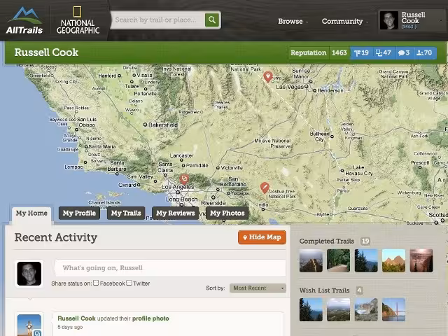
July 2011 saw AllTrails hit the 100,000 members milestone, and this was followed by the launch of an Android app in September. Today, founder and CEO Russell Cook tells us that AllTrails has over 500,000 registered members. It’s currently focused on the North American market, but is looking to make inroads in Europe and elsewhere.
AllTrails and National Geographic

The 💜 of EU tech
The latest rumblings from the EU tech scene, a story from our wise ol' founder Boris, and some questionable AI art. It's free, every week, in your inbox. Sign up now!
In the coming months, AllTrails will start offering an expanded, premium subscription service that gives access to exclusive Web and mobile access to National Geographic’s extensive topographic map assets, including TOPO and Trails Illustrated maps.
“I have always been inspired by the spirit of adventure that National Geographic represents. For as long as I can remember I have trusted their maps to help me plan my outdoor adventures,” said Cook. “We are thrilled about working with them to build a platform that will showcase their impressive collection of maps to outdoor enthusiasts everywhere.”
National Geographic Maps was established as a division of the National Geographic Society in 1915 and has been producing maps for National Geographic magazine and other Society media for almost one hundred years. National Geographic Maps publishes wall maps, outdoor recreation maps, travel maps, interactive maps, atlases and globes.
“National Geographic has been producing world-class maps for nearly 100 years, and has always had strong ties to the outdoor recreation community,” said Charles Regan, vice president and general manager of National Geographic Maps. “We have been searching for the right platform to more deeply engage outdoor enthusiasts, and we know we’ve found the right partner in AllTrails.”
Get the TNW newsletter
Get the most important tech news in your inbox each week.