Google Maps has added a very special view to what you get when checking out the Grand Canyon. You might remember that in October, it sent a Street View team to one of the United States’s most famous monuments to map it out. It just so happened that today, it’s available on the site.
After trekking through 75 miles of trails and surround roads, anyone from around the world can view the Grand Canyon almost like they were there themselves with more than 9,500 panoramic views never seen before. Google Map users can navigate this famous landscape virtually as they check out all the trails and scenery that millions experience when they’re actually there.
The Street View includes hiking down the famous Bright Angel Trail, views of the Colorado River, and multiple scenic overlooks in full 360-degrees. It also has views from the steep inclines of the South Kaibab Trail and shots of the Meteor Crater. All viewable without needing to bring any water, sunscreen, or comfortable shoes.

The 💜 of EU tech
The latest rumblings from the EU tech scene, a story from our wise ol' founder Boris, and some questionable AI art. It's free, every week, in your inbox. Sign up now!
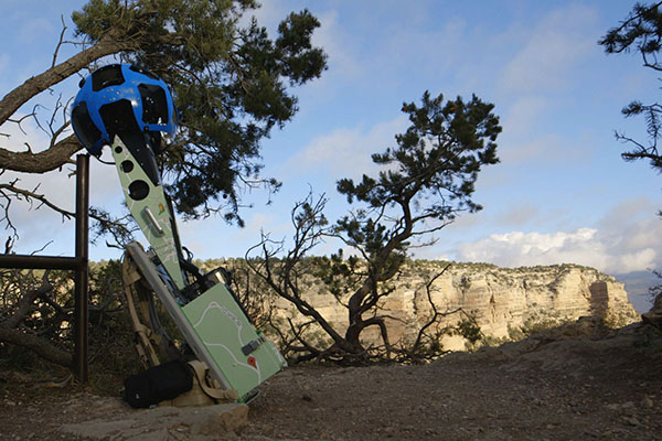
Google says its image collection was photographed using its Trekker camera. Its Google Maps Street View team lugged the 40-pound backpacks with the 15-lens camera throughout the Grand Canyon for days while dealing with rocky terrain, various temperature fluctuations and “a few muscle cramps along the way”. The camera snaps photos about every 2.5 seconds.
The addition of the more than 9,500 panoramic shots adds the Grand Canyon to Google Maps’ list of amazing places it features Street Views of. The service already includes the Swiss Alps, the Amazon, Antarctica, and other locations around the world.
The release of this new Street View comes just a day after Google published thoughts about how mapping has helped to create jobs and drive economic growth. In a post from Brian McClendon, the Vice President of Google Geo, he says that map technology has become popular in helping people save time. He says that 1.1 billion hours of travel time is saved every year — whether it’s UPS delivering packages, a user hailing a taxi with Hailo or Uber, or Zipcar’s use of maps to connect its 760,000 customers to its fleet of cars. The geo services industry is worth $150-270 billion each year, whether it’s with satellite receivers, GPS devices, electronic maps or location-based search.
In Oxera’s “What is the economic impact of Geo?” report, students using geo services are more likely to receive 3 percent higher average wages after graduation — imagine how much they can learn now by going on a virtual field trip of the Grand Canyon without needing to view static 2-dimensional photo.
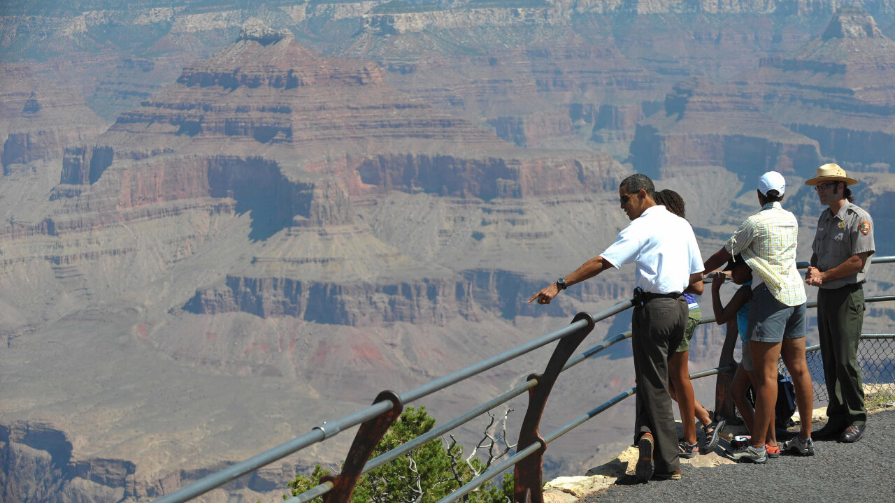
Photo credit: MANDEL NGAN/AFP/Getty Images
Get the TNW newsletter
Get the most important tech news in your inbox each week.