Growing up, one of my favorite TV shows was Fort Boyard. It was a pretty typical game show — think Survivor, or The Crystal Maze. Contestants are plonked on an abandoned French fort, situated on an island somewhere in the North Atlantic, and they’ve got to traverse a maze and avoid obstacles in order to win a cash prize.
I like to think of airports like that. The main difference is that obstacles are usually TSA agents, all-to-eager to touch your junk, and the prize is making your flight on time — and if you’re lucky, enough time to order an overpriced, soggy slab of gray mystery meat from Burger King.
Yes folks. Airports are abysmally shit.
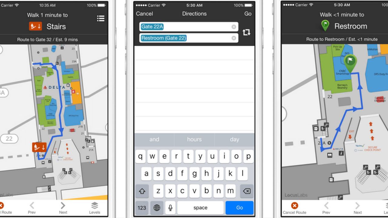
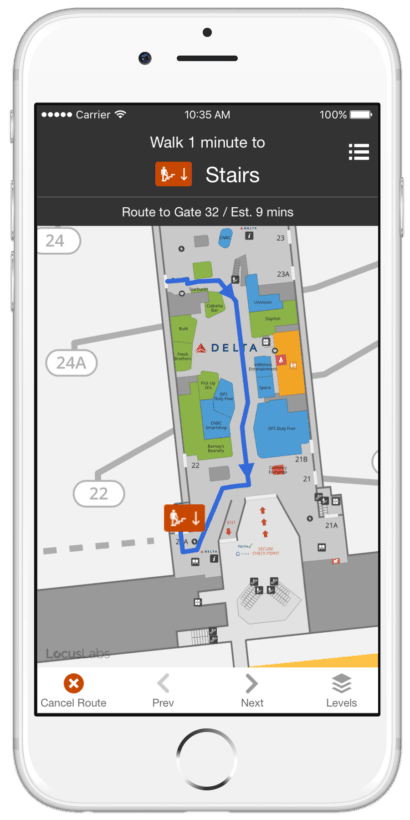
But in an attempt to make them, dare I say, manageable, Tripit has introduced a new feature that’s a bit like Google Maps or Waze, but for nightmarishly-labyrinthine airports. The popular travel app can now show you how to get to your gate from security, step by step.
And for those on connecting flights, Tripit will show you the most direct route to your next gate, along with how long the walk is. Which is handy, as you can figure out if you’ve got enough time to use the restroom, grab a drink, or visit the lounge.

Speaking of which, Tripit can also guide you nearby amenities, which is handy if you’ve got some time to kill. If you’re hankering for some food at a miserable airport Chilli’s, Tripit will show you how to get there. It also shows nearby toilets and ATMs.
Unfortunately, the feature is only available to those who’ve stumped up $49 for an annual TripIt Pro plan. It’s also only available at a handful of airports, the majority of which are in the United States, like Dulles, Newark, Houston, and LAX. There’s also a healthy mix of smaller regional airports thrown in, like Piedmont Triad and Long Beach Airport.
Internationally, guided maps are available at Istanbul Ataturk Airport and Tokyo Narita.
As a result, if most of your travel is abroad, this isn’t something that will be of use to you — at least, not yet. But if you spend your time shuttling yourself across the U.S., its value is a bit more apparent.
As a regular road warrior, this is something I can see myself using, should the list of supported airports increase.
In fact, I could have used it a few months ago, when my wife got lost in Paris’s hellish Charles De Gaulle Airport and missed her connecting flight to the UK. She eventually got home, but had to buy a new ticket at the cost of about £200 (roughly $250). Last minute flights are really bloody expensive.
Tripit’s new navigation feature also comes at a time when airports are increasingly looking at how technology can make traversing them much easier.
In May, London’s Gatwick Airport announced that it was working on an indoor navigation system that uses beacons to direct passengers.
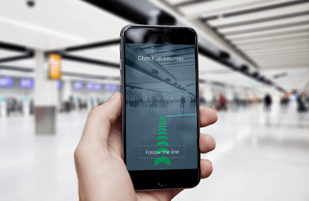
The beacons use technology from London startup Pointr, and are accurate to three meters. Gatwick also intends to launch an augmented reality application that will offer a video game-type waypoint system, allowing you to easily figure out where you need to go.

The airport is also looking at how to offer the data to airlines and other partners, in order for them to incorporate it into their applications.
Perhaps most exciting of all, when iOS 11 is eventually released, it will include detailed airport floorplans within Apple Maps.
Sadly though, there are other elements of flying that can’t easily be fixed with technology. Nobody’s about to launch an app that can lessen the misery of being assigned the middle seat, for instance.
Get the TNW newsletter
Get the most important tech news in your inbox each week.


