While Google Maps offers its own editing tools for drawing and annotating, they’re not particularly easy to use and the printing options are limited. Stepping in to solve this problem with its own, free solution is FIND, which this week launched Personalise Your Map.
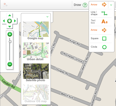
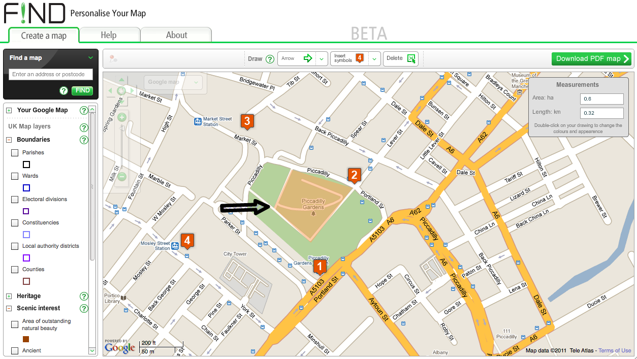
This easy-to-use Web app lets you customise the colours of just about every element of a map and makes adding text boxes, arrows, lines and shapes much easier than the standard Google tools. If you’re mapping the UK, it takes advantage of open Ordnance Survey mapping data to allow you to add area boundaries, historic building locations, nature reserves and geological information.
You can choose between a standard Google Map, Google’s satellite view and OpenStreetMap data. Additionally, Ordnance Survey maps can be selected when you’re looking at the UK (this option worked when we tried the service earlier in the week but is currently showing as “temporarily unavailable”) Double-clicking on any element that you’ve added to your map opens up a box that lets you customise it with different colours and patterns.
Once your map is complete, the service lets you save it as a PDF for storing, sharing and printing – a useful feature that Google Maps lacks.
Sadly, there’s currently no way to save your map in a way that allows you to edit it further at a later date – you need to create and finish your map in one session. Still, if you need to create a custom map to share with others, FIND’s solution is well worth a try.

Get the TNW newsletter
Get the most important tech news in your inbox each week.