Unless you’re a professional scuba diver, chances are you’ve never explored an underwater shipwreck first-hand. Fear not though, as Google Street View has been updated with some sublime photos from the sunken USS Mohawk.
The panoramic, 360-degree images were submitted by Trident Global Imaging, who last year set out to create a virtual tour of the 165-foot vessel. The World War II Coast Guard cutter was launched in 1934, but was then purposefully sunk in 2012 to create an artificial veteran’s memorial reef.
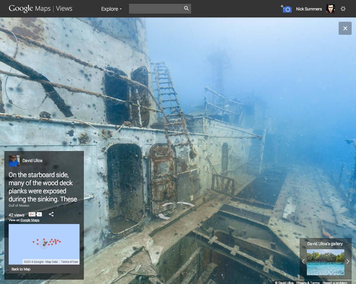
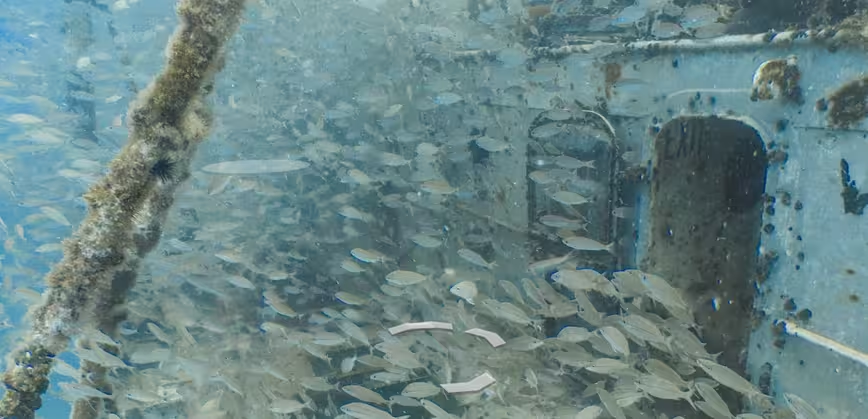
The photos offer incredible clarity and allow you to move around the bridge, crow’s nest, port and starboard sides of the ship. Schools of fish sometimes obstruct your view of the ship, but that arguably just adds to the atmosphere.

The 💜 of EU tech
The latest rumblings from the EU tech scene, a story from our wise ol' founder Boris, and some questionable AI art. It's free, every week, in your inbox. Sign up now!
The USS Mohawk isn’t the first shipwreck to show up on Street View. Google, in partnership with the Catlin Seaview Survey, has also documented the Mary Celeste Wreck down on the ocean floor.
➤ Google Maps Views (via Google+)
Get the TNW newsletter
Get the most important tech news in your inbox each week.