It’s a big day down in Denver with Uber launching its driver-for-hire service earlier today. And now Google is gracing the so-called Mile-High city with a launch of its own, rolling out its 3D Google Earth imagery in the Colorado city, alongside Washington’s Seattle.
We first reported that Google Earth was getting 3D maps of cities on mobile back in June, and although it was demoed on an iPad at the Google event, it actually launched on Android first. Which perhaps wasn’t surprising.
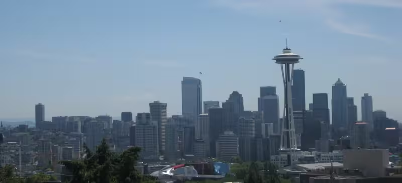
Just a few weeks ago, we reported that Google Earth for iOS had been updated with 3D imagery of Los Angeles, Boston, San Francisco, Geneva and Rome, and it was noted at the time that more would be added in due course. Here’s what Safeco Field, home of the Seattle Mariners, looks like:


The 💜 of EU tech
The latest rumblings from the EU tech scene, a story from our wise ol' founder Boris, and some questionable AI art. It's free, every week, in your inbox. Sign up now!
Here’s what the Wells Fargo Center in downtown Denver looks like:

“Being able to provide you with this comprehensive 3D experience is possible because of advanced image processing and the use of 45-degree aerial imagery,” says Adam Hecht, Geo Program Manager at Google. “If you don’t have the latest version of the Google Earth app for iOS or Android, be sure to update so you can check out this spectacular new 3D imagery.”
➤ Google Earth: iOS | Android
Get the TNW newsletter
Get the most important tech news in your inbox each week.