Google has announced its new Google Maps Roads API that allows developers to create better route visualizations in their apps from raw GPS data by following actual roads.
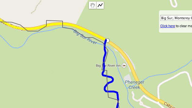
The new API addresses the problem of GPS jitter, where inaccurate or insufficient data causes apps to display odd routes that pass through obstructions, when tracking a user’s location while they’re on the move.
The Roads API includes a snap-to-road feature which takes the available data and returns paths that conform to the most likely routes taken by the user.
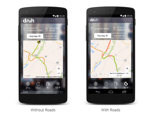
Navigation and automobile diagnostics apps are most obvious uses for the new functionality. The example below shows how the Roads API allows Dash’s connected driving app to provide clearer and more accurate directions using the same raw data.

The 💜 of EU tech
The latest rumblings from the EU tech scene, a story from our wise ol' founder Boris, and some questionable AI art. It's free, every week, in your inbox. Sign up now!
The snap-to-road feature is free for up to 2,500 queries a day. Paid Google Maps API developers can also get speed limit data for the routes displayed in their apps.
Google has also made sample code and documentation available for developers to check out.
➤ Google Maps welcomes the new Roads API [Google Geo Developers Blog]
Get the TNW newsletter
Get the most important tech news in your inbox each week.