Apple has been deploying vehicles in the US to gather images and data for its Maps service and now it’s bringing the programme to the UK and Ireland.
The Guardian reports – clearly based on information from a well-placed source – that Apple is about to launch a page on its website detailing the locations the cars will visit in Britain and Ireland.
The first mapping expedition begins June 15 and will run until June 30. The page which The Guardian refers to maps.apple.com/vehicles was live but not displaying content at the time of writing. [Update: it’s now live. See below for specifics on location]
The vehicles will be travelling the East of England (Essex, Hertfordshire), Greater London, the South East (Kent, Surrey) and the West Midlands (Birmingham, Dudley, Sandwell, Solihull, Staffordshire, Walsall, Warwickshire and Worcestershire) in the UK, and throughout Dublin and Leinster in Ireland.
The story quotes the unpublished page, it will explain:

The 💜 of EU tech
The latest rumblings from the EU tech scene, a story from our wise ol' founder Boris, and some questionable AI art. It's free, every week, in your inbox. Sign up now!
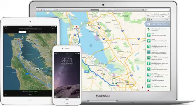
Apple is driving vehicles around the world to collect data which will be used to improve Apple Maps. Some of this data will be published in future Apple Maps updates.
We are committed to protecting your privacy while collecting this data. For example, we will blur faces and license plates on collected images prior to publication.
The last section makes it clear that the project will involve taking photos, rather than simply grabbing data, all but confirming that Apple has a Google Street View competitor in the works.
We’ll update this story when the Apple page is live.
➤ Apple Maps: Vehicles [via The Guardian]
Read next: Apple Maps gets transit directions … finally
Get the TNW newsletter
Get the most important tech news in your inbox each week.