This week Google shared what appears to be its next major feature with members of the Google Maps preview program.
If the news from a member of the preview program is correct, they are adding the automatic display of prices for tolls on roads and bridges to the driver navigation route. Google Maps invited the member to take a survey based on their UX of these features.
It suggests that toll prices and perhaps total costs would be displayed along a driving route before the user selects it, allowing them to choose between faster and cheaper but longer routes.
Plan for car-free travel
It’s part of a bigger trend to incorporate more advanced transport planning into Google Maps. Last week Spin, the micromobility unit of Ford Motor Company, announced the integration of their escooters and ebikes into Google Maps, making it easier to get around without a car.
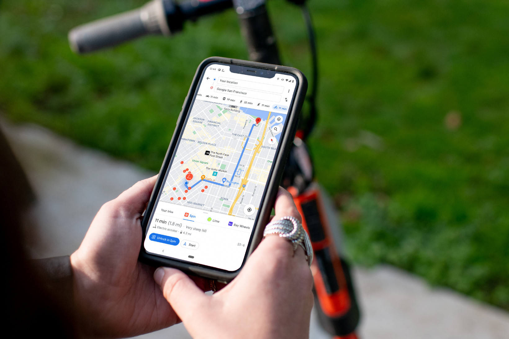
Riders can use Maps to see, in real-time, the nearest available Spin ebike or escooter. The map details how long it will take to walk to the ebike or scooter, the estimated battery range, and when you can expect to arrive. Upon arrival, you can use the Spin app to pay for the vehicle, unlock it and ride. Easy.
Pay for your parking or train ticket in Google Maps
Earlier this year, Google Maps announced a collaboration with Google Pay so users can pay for street parking and transit fares right from Google Maps.
COVID-19 increased the desire for hands-free transactions. You can pay your meter right from driving navigation in Maps and avoid touching the meter altogether.
Public transport passengers can plan their trip on Google Maps and buy a ticket without switching to a transport app. Available for 80 transit agencies worldwide, when you get transit directions, you see the option to pay with your phone with the credit or debit cards already linked to your Google Pay account.
Giving people options at the route planning stage makes it easy to travel and increases the incentive to opt for sustainable transport. Google is not only directing us but becoming part of the solution for greener transport.
Do EVs excite your electrons? Do ebikes get your wheels spinning? Do self-driving cars get you all charged up?
Get the TNW newsletter
Get the most important tech news in your inbox each week.