
Microsoft has added 5 million square miles (13 million square kilometers) of new aircraft and satellite aerial imagery to its Bing Maps service.
Here’s a map showing the extent of the new coverage:
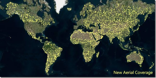
The company highlighted several locations benefitting from the new images: Ísafjarðarbær, Iceland, Maritimes Alps, France, Rio De Janeiro, Brazil and Hugh Town, Scilly Isles, England.
In June, Microsoft added 270TB of birds-eye imagery to Bing Maps
Thumbnail image credit: stock.xchng
Get the TNW newsletter
Get the most important tech news in your inbox each week.