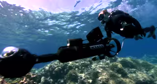
Google wants to get everywhere with Street View and it’s now taken its cameras into the deep. From today, you can see imagery captured in oceans across the world.
The announcement is timed to trail World Oceans Day on June 8. It represents the first fruits of a four year collaboration between Google and the XL Catlin Seaview Survey, NOAA’s Office of National Marine Sanctuaries and the Chagos Conservation Trust.
The idea is not just to let us gawp at dolphins, but to highlight the damage humans are inflicting on underwater ecosystems. The company says:
Home to the majority of life on Earth, the ocean acts as its life support system, controlling everything from our weather and rainfall to the oxygen we breathe. Yet despite the ocean’s vital importance, the ocean is changing at a rapid rate due to climate change, pollution, and overfishing…
Google’s using GPS stamped photos to build a timeline of images that will illustrate the degradation.
Still, in happier news, it does mean we get to see some gorgeous undersea scenes, which most of us would normally never get to witness.
It’s not the first time Google has taken its cameras into the sea either, earlier this year it unveiled underwater footage from Brazil’s UNESCO World Heritage sites.
➤ Explore life beneath the waves in honor of World Oceans Day [Google Maps Blog via VentureBeat]
Read next: What do you do when you see a Google Street View car? These guys staged a murder.
Get the TNW newsletter
Get the most important tech news in your inbox each week.