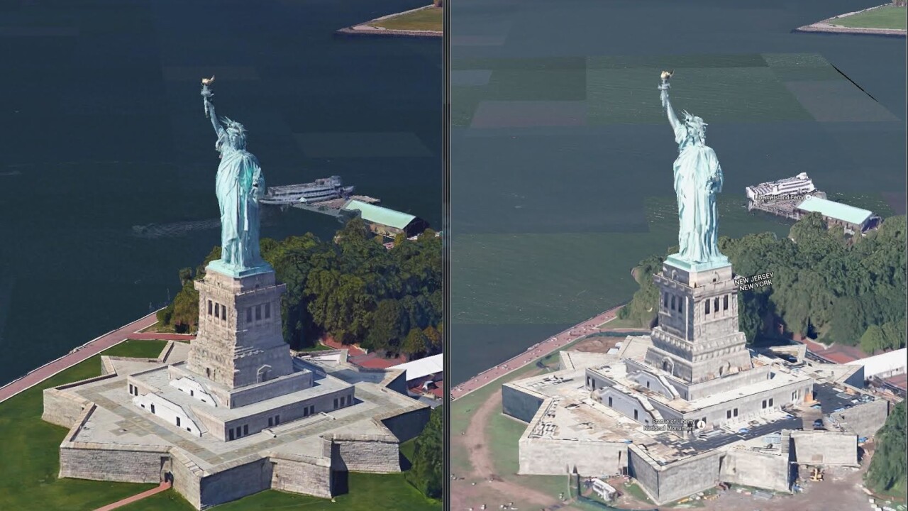
Being able to fly around the globe in Google Maps or Google Earth and see 3D reconstructions of buildings and landmarks is admittedly a lot of fun, but most of these models have so far been pretty low-fidelity reconstructions.
Google is now refreshing its 3D imagery using new high-res models, starting with New York City and the San Francisco Bay Area.
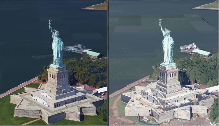
The company says it’s using better cameras and algorithms in order to create more accurate models of these cities – you need only open Earth View in Google Maps or open up Google Earth on mobile to check out the higher fidelity cityscapes.
New York and the Bay Area are just the first to get the upgrade – Google says it will announce improvements to the imagery for other cities in 2015.

The <3 of EU tech
The latest rumblings from the EU tech scene, a story from our wise ol' founder Boris, and some questionable AI art. It's free, every week, in your inbox. Sign up now!
Get the TNW newsletter
Get the most important tech news in your inbox each week.