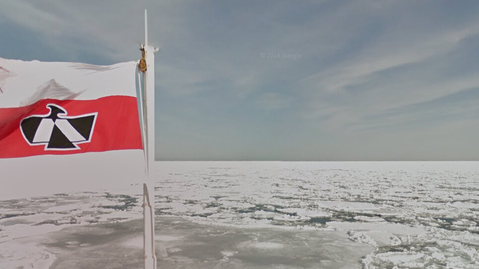
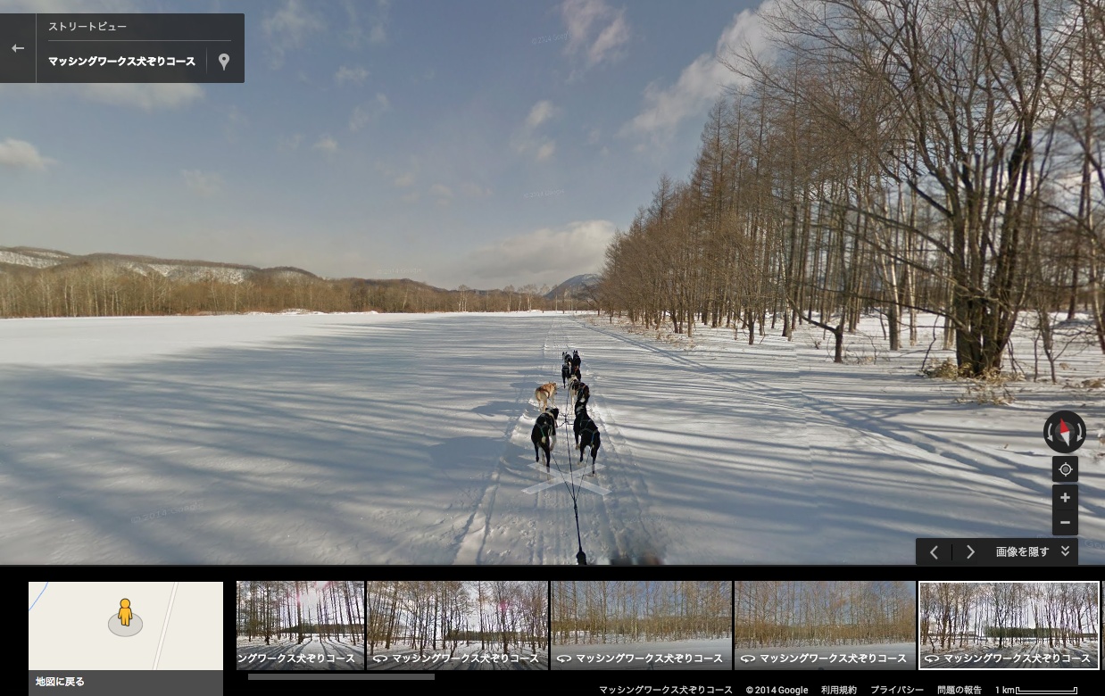
Google took a three-day trip to Hokkaido last month to capture Japan’s snow-capped and northernmost island with some beautiful, panoramic 360-degree Street View photographs.
The expedition was broken down into a few different legs, which included carving a path through the icy Sea of Okhotsk, dog sledding through the tranquil snow fields and investigating Lake Shikaribetsu, which had frozen over and created a foundation for a small, man-made ice chapel.
All of the photos are available right now on Google Maps Views, and have been split into collections based on the area of Hokkaido being depicted. The company has also put together a small video montage reflecting the trip, which illustrates the lengths to which Google is prepared to go to map our ever-changing planet.
For the record, Google has already been to Venice, the Galapagos Islands, a deserted city caught up in the Fukushima disaster and Mount Everest. It recently uploaded images for the Colorado River and is currently shooting underwater Street View photos around Sydney’s iconic harbor and coastline.
➤ Google Maps Views (via Google)
Get the TNW newsletter
Get the most important tech news in your inbox each week.